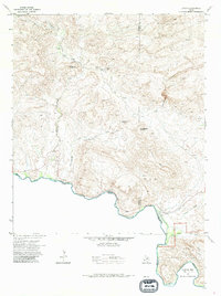
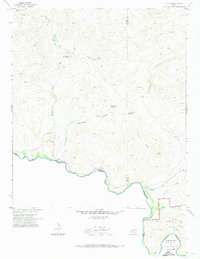
1971 Map of Lajitas
USGS Topo · Published 1985About this map
Mining and cross-border transport define this arid landscape along the Rio Grande during the early 1970s. The settlement of Lajitas serves as the primary outpost on the river, situated near a Cem and a marked Landing Strip. The industrial legacy of the region is evident in the numerous resource extraction sites scattered through the canyons, specifically the Whitney Mine and Fresno Mine located north of the Wax Factory Laccolith.
Find a feature on this map
24 named features on this map. Tap any name to fly to it.
Don’t see what you’re looking for? This feature index may not catch every label — zoom into the map to look around manually.
Map Details
Editions of this 1971 Lajitas Map
3 editions found
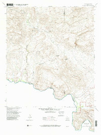
Other maps of this area

1903 · Terlingua
USGS Topo · 1:125,000

1904 · Terlingua
USGS Topo · 1:125,000

1931 · Lajitas
USGS Topo · 1:62,500

1959 · Emory Peak
USGS Topo · 1:250,000

1965 · Emory Peak
USGS Topo · 1:250,000

1971 · Yellow Hill
USGS Topo · 1:24,000

1971 · Amarilla Mountain
USGS Topo · 1:24,000
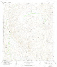
1971 · The Solitario
USGS Topo · 1:24,000
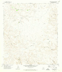
1971 · Sauceda Ranch
USGS Topo · 1:24,000
1971 · Lajitas
USGS Topo · 1:24,000