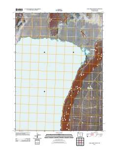
2011 Map of Lake Abert North
USGS Topo · Published 2011About this map
Lake Abert dominates the western half of this landscape in Lake County, defining the geography of this high desert region in the early twenty-first century. The map tracks the eastern shoreline of this large alkaline water body, where the terrain transitions into a series of smaller basins and seasonal features. Tucked away from the main expanse of the lake, researchers can find Thorne and Wisdom Lake, a smaller hydrological feature situated near the base of the rising eastern slopes. Along the corridor of the main thoroughfare, the presence of Highway Spring highlights the critical importance of water sources in this arid Oregon environment. The cartography provides a clear view of the sparse human footprint in this part of the Great Basin, focusing on the essential relationship between the few arterial roads and the massive, mineral-rich lake.
Find a feature on this map
3 named features on this map. Tap any name to fly to it.
Don’t see what you’re looking for? This feature index may not catch every label — zoom into the map to look around manually.
Map Details
Editions of this 2011 Lake Abert North Map
This is the sole edition of this map. No revisions or reprints were ever made.
Other maps of this area

1955 · Klamath Falls
USGS Topo · 1:250,000

1958 · Klamath Falls
USGS Topo · 1:250,000

1966 · Coglan Buttes NE
USGS Topo · 1:24,000

1966 · Coglan Buttes SE
USGS Topo · 1:24,000

1968 · Lake Abert North
USGS Topo · 1:24,000

1968 · Lake Abert South
USGS Topo · 1:24,000
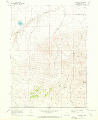
1968 · Cooper Draw
USGS Topo · 1:24,000

1968 · Commodore Ridge
USGS Topo · 1:24,000

1974 · Lake Abert
USGS Topo · 1:100,000
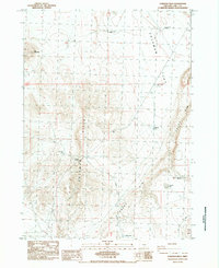
1984 · Coleman Hills
USGS Topo · 1:24,000