
2020 Map of Lake Abert North
USGS Topo · Published 2020About this map
Lake Abert dominates this high-desert basin, its vast alkaline waters filling much of the western portion of the map. Along the eastern shoreline, the dramatic escarpment of Abert Rim rises sharply, creating a massive vertical wall that parallels the water. This geological formation serves as a prominent landmark in the Great Basin region, defined by its steep talus slopes and sheer cliffs. The presence of Highway Spring near the northeastern edge of the lake provides a rare point of freshwater in this arid landscape. This 2020 update shows the remote character of the area, where the single corridor of Highway 395 follows the narrow bench of land between the lake and the towering rimrock, maintaining a critical transportation link through an otherwise uninhabited stretch of Lake County.
Find a feature on this map
10 named features on this map. Tap any name to fly to it.
Don’t see what you’re looking for? This feature index may not catch every label — zoom into the map to look around manually.
Map Details
Editions of this 2020 Lake Abert North Map
This is the sole edition of this map. No revisions or reprints were ever made.
Other maps of this area

1955 · Klamath Falls
USGS Topo · 1:250,000

1958 · Klamath Falls
USGS Topo · 1:250,000

1966 · Coglan Buttes NE
USGS Topo · 1:24,000

1966 · Coglan Buttes SE
USGS Topo · 1:24,000

1968 · Lake Abert North
USGS Topo · 1:24,000

1968 · Lake Abert South
USGS Topo · 1:24,000
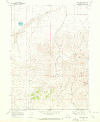
1968 · Cooper Draw
USGS Topo · 1:24,000

1968 · Commodore Ridge
USGS Topo · 1:24,000

1974 · Lake Abert
USGS Topo · 1:100,000
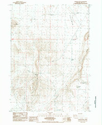
1984 · Coleman Hills
USGS Topo · 1:24,000