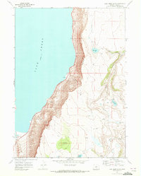
1968 Map of Lake Abert South
USGS Topo · Published 1972About this map
Abert Rim dominates the landscape of this 1968 survey, forming a massive basalt escarpment that towers over the eastern shore of Lake Abert. This dramatic geological formation creates a sharp vertical boundary between the high desert plateau and the alkaline basin below. Along the base of the rim, the Chewaucan River enters the lake near the Johnson Ranch, indicating the vital role of limited water sources for cattle ranching in this arid region of Lake County. Higher elevations on the plateau feature a network of seasonal water bodies and landmarks including Colvin Timbers, Mule Lake, and Paddys Lake. The reliance on natural springs is evident through names like Webb Springs, which served as critical stops for those navigating the numerous Jeep Trails and paths that crisscross the sagebrush-covered terrain east of the rim.
Find a feature on this map
20 named features on this map. Tap any name to fly to it.
Don’t see what you’re looking for? This feature index may not catch every label — zoom into the map to look around manually.
Map Details
Editions of this 1968 Lake Abert South Map
2 editions found
Other maps of this area

1955 · Klamath Falls
USGS Topo · 1:250,000

1958 · Klamath Falls
USGS Topo · 1:250,000

1964 · Valley Falls
USGS Topo · 1:24,000

1966 · Coglan Buttes NE
USGS Topo · 1:24,000

1966 · Coglan Buttes SE
USGS Topo · 1:24,000
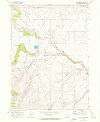
1968 · Drake Peak NE
USGS Topo · 1:24,000

1968 · Lake Abert North
USGS Topo · 1:24,000

1968 · Lake Abert South
USGS Topo · 1:24,000
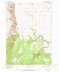
1968 · Little Honey Creek
USGS Topo · 1:24,000
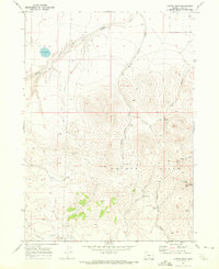
1968 · Cooper Draw
USGS Topo · 1:24,000