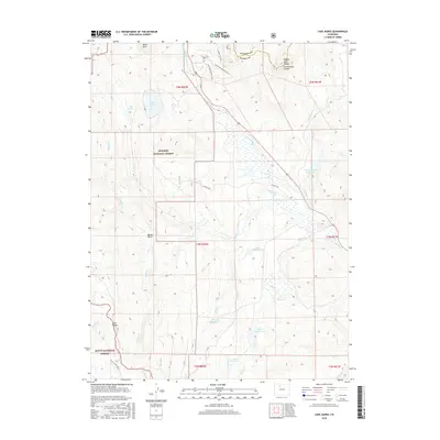
2016 Map of Lake Agnes
USGS Topo · Published 2016About this map
Rabbit Ears Range and the Continental Divide dominate the high-altitude landscape where Jackson and Grand counties meet. This 2016 survey illustrates a terrain defined by water management and forest preservation, with the Arapaho National Forest and Routt National Forest blanketing much of the area. High-elevation water bodies like Lake Agnes and Lily Lake sit beneath Baker Mtn, while a series of man-made structures including Whiteley Peak Reservoir, Basin Reservoir, and Binco Reservoir highlight the region's irrigation and water storage network. Transportation through this remote mountain environment is limited to routes like CO Hwy 184 and primitive roads such as Lower Bear Mountain Rd. For hikers and researchers, the Sarvis Creek Trail provides a documented path into the Gore Range at the southwestern edge of the sheet.
Find a feature on this map
34 named features on this map. Tap any name to fly to it.
Don’t see what you’re looking for? This feature index may not catch every label — zoom into the map to look around manually.
Map Details
Editions of this 2016 Lake Agnes Map
This is the sole edition of this map. No revisions or reprints were ever made.
Other maps of this area

1954 · Craig
USGS Topo · 1:250,000

1956 · Rabbit Ears Peak
USGS Topo · 1:24,000

1956 · Lake Agnes
USGS Topo · 1:24,000

1956 · Kremmling
USGS Topo · 1:62,500

1956 · Spicer Peak
USGS Topo · 1:24,000

1956 · Whiteley Peak
USGS Topo · 1:24,000

1956 · Storm Mountain
USGS Topo · 1:24,000

1956 · Walton Peak
USGS Topo · 1:24,000

1956 · Gore Pass
USGS Topo · 1:62,500

1956 · Hyannis Peak
USGS Topo · 1:62,500