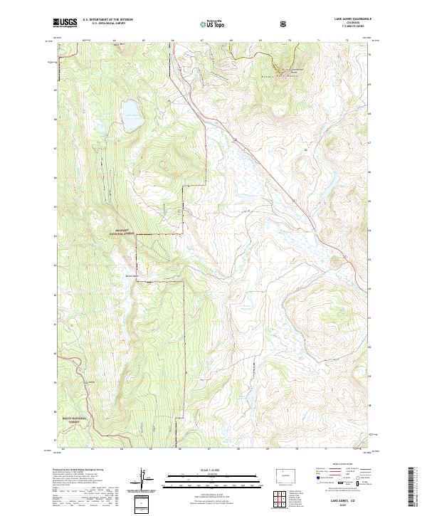
2022 Map of Lake Agnes
USGS Topo · Published 2022About this map
The Continental Divide winds through the high ridges of the Rabbit Ears Range in this high-altitude landscape where the Arapaho National Forest and Routt National Forest meet. The terrain is defined by a complex network of alpine drainage systems, with Muddy Creek and its many tributaries, including Little Muddy Creek and Diamond Creek, carving through the mountain basins. A series of high-country water bodies, from the naturally formed Lake Agnes and Lily Lake near Baker Mountain to engineered catchments like Basin Reservoir and Milk Creek Reservoir, highlight the critical role this region plays in watershed management.
Find a feature on this map
36 named features on this map. Tap any name to fly to it.
Don’t see what you’re looking for? This feature index may not catch every label — zoom into the map to look around manually.
Map Details
Editions of this 2022 Lake Agnes Map
This is the sole edition of this map. No revisions or reprints were ever made.
Other maps of this area

1954 · Craig
USGS Topo · 1:250,000

1956 · Rabbit Ears Peak
USGS Topo · 1:24,000

1956 · Lake Agnes
USGS Topo · 1:24,000

1956 · Kremmling
USGS Topo · 1:62,500

1956 · Spicer Peak
USGS Topo · 1:24,000

1956 · Whiteley Peak
USGS Topo · 1:24,000

1956 · Storm Mountain
USGS Topo · 1:24,000

1956 · Walton Peak
USGS Topo · 1:24,000

1956 · Gore Pass
USGS Topo · 1:62,500

1956 · Hyannis Peak
USGS Topo · 1:62,500