
1977 Map of Lake Andes NW
USGS Topo · Published 1979About this map
Geddes sits at the northern edge of this agricultural landscape, where the prairie grid meets the dramatic bluffs of the Missouri River valley. The 1977 orthophotograph, produced in cooperation with the Bureau of Indian Affairs, reveals the intricate textures of the South Dakota plains, from the geometric precision of circular irrigation and square fields to the deeply eroded coulees that drain toward the water. Along the western margin, the expansive Lake Francis Case reservoir dominates the river corridor, its shoreline cutting a jagged boundary against the high ground. This aerial perspective, captured just before the 1980s, provides researchers with a clear record of land use and drainage patterns in Charles Mix County, illustrating the scale of large-plot farming and the natural ruggedness of the Missouri breaks.
Find a feature on this map
3 named features on this map. Tap any name to fly to it.
Don’t see what you’re looking for? This feature index may not catch every label — zoom into the map to look around manually.
Map Details
Editions of this 1977 Lake Andes NW Map
This is the sole edition of this map. No revisions or reprints were ever made.
Other maps of this area

1955 · Mitchell
USGS Topo · 1:250,000

1959 · Mitchell
USGS Topo · 1:250,000

1964 · Campbell Creek
USGS Topo · 1:24,000

1964 · Lake Andes NW
USGS Topo · 1:24,000

1964 · Fort Randall Dam
USGS Topo · 1:24,000

1964 · Lake Andes SW
USGS Topo · 1:24,000
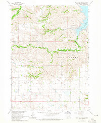
1964 · South Scalp Creek
USGS Topo · 1:24,000

1964 · Lake Andes
USGS Topo · 1:24,000
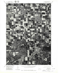
1977 · Lake Andes
USGS Topo · 1:24,000
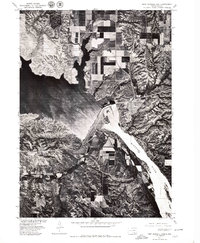
1977 · Fort Randall Dam
USGS Topo · 1:24,000
Featured Places
- Geddes, SD
- Jackson Township, SD
- Goose Lake Township, SD
- Pease Creek Hutterite Colony, SD
- White Swan Township, SD