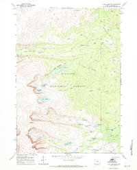
1967 Map of Lake Angeline
USGS Topo · Published 1971About this map
Bighorn National Forest contains a high-altitude water system dominated by the Lake Angeline basin and the distinctive Seven Brothers Lakes chain. Mapped during a 1966 photogrammetric survey and field-checked the following year, this terrain reveals a network of foot travel including the Solitude Trail and Angeline Trail. The landscape is defined by its glacial hydrology, where drainage from Darton Peak feeds into numerous smaller bodies such as Lower Frozen Lake and Upper Frozen Lake. The eastern portion of the quadrangle shows the headwaters of the South Fork Ponds and Sherd Lake, with the surrounding timberlands organized into designated areas like Triangle Park and Buffalo Park. This record preserves the precise location of back-country campgrounds and trail systems before modern recreation patterns shifted, illustrating the remote hydrological connections between the Chill Lakes and the larger North Clear Creek system.
Find a feature on this map
44 named features on this map. Tap any name to fly to it.
Don’t see what you’re looking for? This feature index may not catch every label — zoom into the map to look around manually.
Map Details
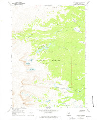
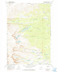
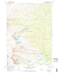
Editions of this 1967 Lake Angeline Map
4 editions found
Other maps of this area

1899 · Cloud peak
USGS Topo · 1:125,000

1900 · Fort McKinney
USGS Topo · 1:125,000

1901 · Cloud Peak
USGS Topo · 1:125,000

1903 · Fort McKinney
USGS Topo · 1:125,000

1955 · Sheridan
USGS Topo · 1:250,000

1958 · Sheridan
USGS Topo · 1:250,000

1962 · Sheridan
USGS Topo · 1:250,000
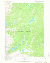
1967 · Willow Park Reservoir
USGS Topo · 1:24,000

1967 · Caribou Creek
USGS Topo · 1:24,000
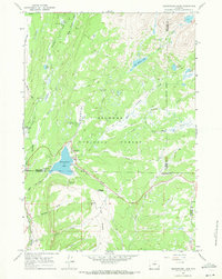
1967 · Meadowlark Lake
USGS Topo · 1:24,000