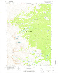
1967 Map of Lake Angeline
USGS Topo · Published 1975About this map
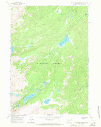
Bighorn National Forest contains a complex network of alpine glacial basins and high peaks as documented during this 1967 field survey. The landscape is defined by its concentrated clusters of water bodies, most notably the Seven Brothers Lakes and the isolated Lake Angeline, which sits beneath the shadows of Darton Peak. This high-altitude terrain was accessible primarily by the Solitude (Pack) Trail and the Angeline Trail, indicating a period of early wilderness management focused on pack-animal transit and primitive camping. Near Oliver Campground, the headwaters of Oliver Creek and several smaller ponds like Rainy Lake and Long Lake illustrate the intricate hydrology of the area's granite basins. The map also documents a series of named summits including Bighorn Peak and Ant Hill, alongside transitional forest zones used for seasonal grazing or recreation as suggested by labels like Buffalo Park Creek.
Find a feature on this map
44 named features on this map. Tap any name to fly to it.
Don’t see what you’re looking for? This feature index may not catch every label — zoom into the map to look around manually.
Map Details
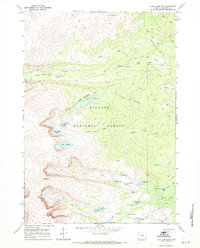
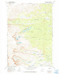
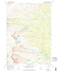
Editions of this 1967 Lake Angeline Map
4 editions found
Other maps of this area

1899 · Cloud peak
USGS Topo · 1:125,000

1900 · Fort McKinney
USGS Topo · 1:125,000

1901 · Cloud Peak
USGS Topo · 1:125,000

1903 · Fort McKinney
USGS Topo · 1:125,000

1955 · Sheridan
USGS Topo · 1:250,000

1958 · Sheridan
USGS Topo · 1:250,000

1962 · Sheridan
USGS Topo · 1:250,000
1967 · Willow Park Reservoir
USGS Topo · 1:24,000

1967 · Caribou Creek
USGS Topo · 1:24,000
1967 · Meadowlark Lake
USGS Topo · 1:24,000