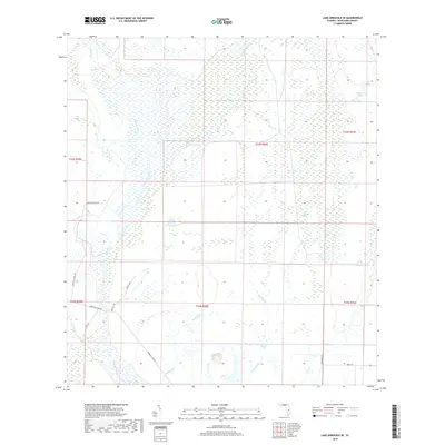
2018 Map of Lake Arbuckle SE
USGS Topo · Published 2018About this map
Arbuckle Creek defines the low-lying hydrology of this Highlands County landscape, winding through a complex network of wetlands and seasonal drainages. In this modern survey, the terrain is characterized by intricate water systems such as Long Cypress Slash and isolated water bodies like Submarine Lake and Bonny Bloom Pond. Small tributaries, including Wildcat Br and Arbuckle Br, feed into the primary creek system, illustrating the natural drainage patterns of south-central Florida. Human activity is evidenced by ranching infrastructure and rural corridors, including Raffert Ranch Rd and Scrubpens Rd. These routes connect remote areas where agriculture and natural conservation meet, with naming conventions like Triple G Trl and Boney RD hinting at the local cattle and land management heritage that continues into the twenty-first century.
Find a feature on this map
24 named features on this map. Tap any name to fly to it.
Don’t see what you’re looking for? This feature index may not catch every label — zoom into the map to look around manually.
Map Details
Editions of this 2018 Lake Arbuckle SE Map
This is the sole edition of this map. No revisions or reprints were ever made.
Other maps of this area

1952 · Fort Kissimmee
USGS Topo · 1:24,000

1952 · Lake Arbuckle SW
USGS Topo · 1:24,000

1952 · Fort Kissimmee NW
USGS Topo · 1:24,000

1952 · Lake Arbuckle NE
USGS Topo · 1:24,000

1952 · Lake Arbuckle SE
USGS Topo · 1:24,000

1952 · Lake Arbuckle
USGS Topo · 1:24,000

1952 · Lorida
USGS Topo · 1:24,000

1952 · Sebring
USGS Topo · 1:24,000

1953 · Basinger NW
USGS Topo · 1:24,000

1956 · Fort Pierce
USGS Topo · 1:250,000