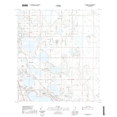
2021 Map of Lake Arbuckle SW
USGS Topo · Published 2021About this map
Lake Wales Ridge forms the geological spine of this Central Florida landscape, dictating the placement of numerous sinkhole lakes and the development of the Avon Park and Sebring corridors. The 2021 topography reveals a high density of named water bodies, from the large expanse of Lake Jackson and Lake Sebring to smaller features like Basket Lake and Little Red Water Lake. The map details the suburban and residential expansion between these settlements, including the neighborhood of Lakemont and leisure developments such as those along Holiday Beach Dr. For local historians and genealogists, the map identifies specific points of interest including Pinecrest Cem and Lakeview Memorial Gardens. Infrastructure like the Highlands County Trl and the Power Line Rd corridor illustrate modern land use alongside older township and range lines like t34s r28e.
Find a feature on this map
89 named features on this map. Tap any name to fly to it.
Don’t see what you’re looking for? This feature index may not catch every label — zoom into the map to look around manually.
Map Details
Editions of this 2021 Lake Arbuckle SW Map
This is the sole edition of this map. No revisions or reprints were ever made.
Other maps of this area

1952 · Lake Arbuckle SW
USGS Topo · 1:24,000

1952 · Lake Arbuckle NE
USGS Topo · 1:24,000

1952 · Lake Arbuckle SE
USGS Topo · 1:24,000

1952 · Lake Arbuckle
USGS Topo · 1:24,000

1952 · Lorida
USGS Topo · 1:24,000

1952 · Sebring
USGS Topo · 1:24,000

1953 · Frostproof
USGS Topo · 1:24,000

1953 · Avon Park
USGS Topo · 1:24,000

1953 · Crewsville
USGS Topo · 1:24,000

1956 · Fort Pierce
USGS Topo · 1:250,000