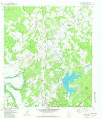
1982 Map of Lake Bastrop
USGS Topo · Published 1982About this map
Camp Swift Military Reservation dominates the northern landscape of this Central Texas corridor, where military infrastructure like Maneuver Road and a landing strip sit adjacent to established rural communities. The map captures a transition in land use, showing the University of Texas Environmental Science Park and large-scale utilities such as a powerplant and sewage disposal ponds near Lake Bastrop. To the south, the city of Bastrop serves as a focal point near the Colorado River, where the Missouri Kansas Texas railroad line tracks through the valley.
Find a feature on this map
44 named features on this map. Tap any name to fly to it.
Don’t see what you’re looking for? This feature index may not catch every label — zoom into the map to look around manually.
Map Details
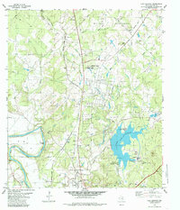
Editions of this 1982 Lake Bastrop Map
2 editions found
Other maps of this area

1885 · Bastrop
USGS Topo · 1:125,000

1893 · Bastrop
USGS Topo · 1:125,000

1904 · Bastrop
USGS Topo · 1:125,000

1948 · Smithville
USGS Topo · 1:62,500

1948 · Elgin
USGS Topo · 1:62,500

1948 · Bastrop
USGS Topo · 1:62,500

1948 · Lexington
USGS Topo · 1:62,500

1950 · Lexington
USGS Topo · 1:62,500

1950 · Bastrop
USGS Topo · 1:62,500

1950 · Smithville
USGS Topo · 1:62,500