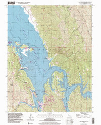
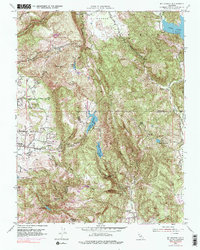
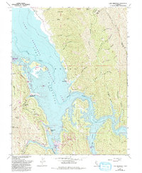
1998 Map of Lake Berryessa
USGS Topo · Published 2002This historical map portrays the area of Lake Berryessa in 1998, primarily covering Napa County as well as portions of Yolo County. Featuring a scale of 1:24000, this map provides a highly detailed snapshot of the terrain, roads, buildings, counties, and historical landmarks in the Lake Berryessa region at the time. Published in 2002, it is the sole known edition of this map.
Find a feature on this map
44 named features on this map. Tap any name to fly to it.
Don’t see what you’re looking for? This feature index may not catch every label — zoom into the map to look around manually.
Map Details
Editions of this 1998 Lake Berryessa Map
This is the sole edition of this map. No revisions or reprints were ever made.
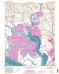
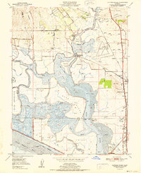
Historical Maps of Napa County Through Time
11 maps found
1949 Cuttings Wharf
Napa County, CA
1951 Capell Valley
Napa County, CA
1951 Cuttings Wharf
Napa County, CA
1951 Mt. George
Napa County, CA
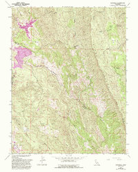
1958 Aetna Springs
Napa County, CA
1958 Chiles Valley
Napa County, CA
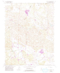
1958 Knoxville
Napa County, CA
1959 Lake Berryessa
Napa County, CA
1959 Walter Springs
Napa County, CA
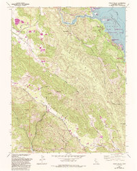
1998 Aetna Springs
Napa County, CA
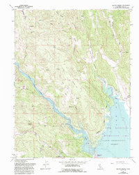
1998 Lake Berryessa
Napa County, CA
Featured Locations
- Yolo County, CA
- Berryessa Highlands, CA
- Spanish Flat, CA
- Spanish Flat Resort, CA
- Steel Canyon Resort, CA