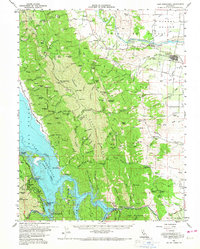
1959 Map of Lake Berryessa
USGS Topo · Published 1967About this map
Lake Berryessa dominates the western landscape of this mid-century survey, its waters recently impounded behind the Monticello Dam. This period marks the early development of the Lake Berryessa Recreation Area, with newly established landings like the Spanish Flat Resort and Steel Canyon Resort appearing along the shoreline. The map preserves the transition from the inundated valley to the remaining upland settlements such as Esparto and Capay to the east.
Find a feature on this map
123 named features on this map. Tap any name to fly to it.
Don’t see what you’re looking for? This feature index may not catch every label — zoom into the map to look around manually.
Map Details
Editions of this 1959 Lake Berryessa Map
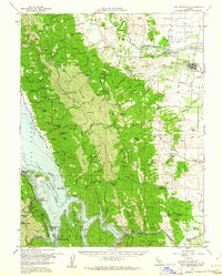
2 editions found
Other maps of this area

1902 · Napa
USGS Topo · 1:125,000

1905 · Esparto
USGS Topo · 1:24,000

1907 · Dunnigan
USGS Topo · 1:62,500

1907 · Woodland
USGS Topo · 1:62,500

1908 · Vacaville
USGS Topo · 1:62,500

1916 · Jacobs Corner
USGS Topo · 1:31,680

1916 · Zamora
USGS Topo · 1:31,680

1916 · Winters
USGS Topo · 1:31,680

1916 · Esparto
USGS Topo · 1:31,680

1917 · Wolfskill
USGS Topo · 1:31,680