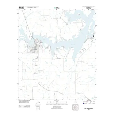
2013 Map of Lake Brownwood
USGS Topo · Published 2013About this map
Lake Brownwood dominates this North Texas landscape, where the sprawling reservoir meets a network of residential developments and rural ranch lands. The western shoreline is heavily subdivided into communities like Shamrock Shores and Lake Shore, featuring a dense grid of streets such as Ballycastle Dr and Limerick Dr. These lakeside settlements contrast with the agricultural character of the surrounding Brown County terrain, which is drained by numerous waterways including Keesee Cr, Rough Cr, and the significant Jim Ned Cr.
Find a feature on this map
135 named features on this map. Tap any name to fly to it.
Don’t see what you’re looking for? This feature index may not catch every label — zoom into the map to look around manually.
Map Details
Editions of this 2013 Lake Brownwood Map
This is the sole edition of this map. No revisions or reprints were ever made.
Other maps of this area
1887 · Coleman
USGS Topo · 1:125,000
1889 · Brownwood
USGS Topo · 1:125,000
1889 · Coleman
USGS Topo · 1:125,000
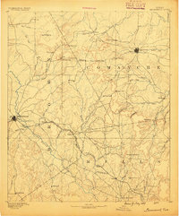
1894 · Brownwood
USGS Topo · 1:125,000
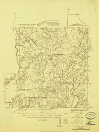
1924 · Coleman 1-a
USGS Topo · 1:48,000
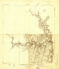
1924 · Brownwood Reservoir Site
USGS Topo · 1:48,000
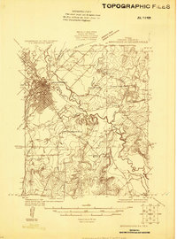
1925 · Brownwood 3-b
USGS Topo · 1:48,000
1927 · Grosvenor
USGS Topo · 1:62,500
1928 · Zephyr
USGS Topo · 1:62,500
1950 · Zephyr
USGS Topo · 1:62,500