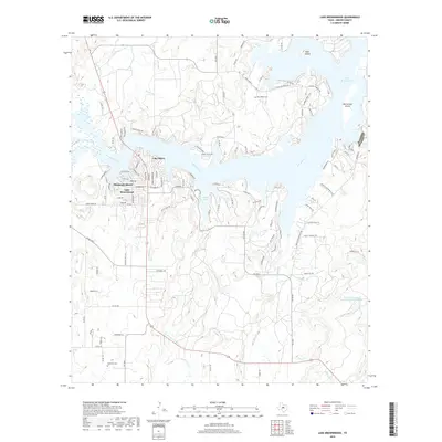
2019 Map of Lake Brownwood
USGS Topo · Published 2019About this map
Lake Brownwood dominates the landscape of this central Texas region, its jagged shoreline creating numerous inlets and points that defined local development by the late 2010s. The community of Lake Shore and the Shamrock Shores neighborhood sit along the western banks, while the water extends into narrow branches like Cason Cove and the wide reach of Jim Ned Creek. These water features surround prominent landforms including Goat Island and McCartney Island, reflecting the area's transition into a residential and recreational hub.
Find a feature on this map
65 named features on this map. Tap any name to fly to it.
Don’t see what you’re looking for? This feature index may not catch every label — zoom into the map to look around manually.
Map Details
Editions of this 2019 Lake Brownwood Map
This is the sole edition of this map. No revisions or reprints were ever made.
Other maps of this area

1887 · Coleman
USGS Topo · 1:125,000

1889 · Brownwood
USGS Topo · 1:125,000

1889 · Coleman
USGS Topo · 1:125,000

1894 · Brownwood
USGS Topo · 1:125,000

1924 · Coleman 1-a
USGS Topo · 1:48,000

1924 · Brownwood Reservoir Site
USGS Topo · 1:48,000

1925 · Brownwood 3-b
USGS Topo · 1:48,000

1927 · Grosvenor
USGS Topo · 1:62,500

1928 · Zephyr
USGS Topo · 1:62,500

1950 · Zephyr
USGS Topo · 1:62,500