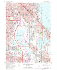
1965 Map of Lake Calumet
USGS Topo · Published 1974About this map
The heavy industrial corridor of Southeast Chicago and its neighboring Indiana borderlands are captured during a period of intense mid-century urbanization. Dominating the center is Lake Calumet, a vital hub for shipping and waste management, evidenced by the Calumet Incinerator and nearby refineries. The landscape is defined by the rigid grid of neighborhood streets and the intricate rail network of the Penn Central Railroad and Chicago South Shore and South Bend Railroad.
Find a feature on this map
124 named features on this map. Tap any name to fly to it.
Don’t see what you’re looking for? This feature index may not catch every label — zoom into the map to look around manually.
Map Details
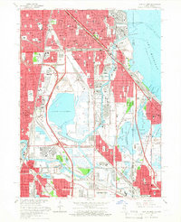
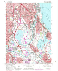
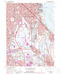
Editions of this 1965 Lake Calumet Map
4 editions found
Other maps of this area

1889 · Chicago
USGS Topo · 1:62,500

1891 · Chicago
USGS Topo · 1:62,500

1892 · Calumet
USGS Topo · 1:62,500

1893 · Calumet
USGS Topo · 1:62,500

1900 · Chicago
USGS Topo · 1:62,500

1900 · Toleston
USGS Topo · 1:62,500

1900 · Calumet
USGS Topo · 1:62,500

1901 · Calumet
USGS Topo · 1:62,500

1901 · Chicago
USGS Topo · 1:62,500

1929 · Calumet Lake
USGS Topo · 1:24,000