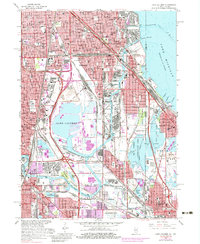
1965 Map of Lake Calumet
USGS Topo · Published 1983About this map
The industrial heart of Chicago’s South Side and the Indiana borderlands are defined here by a dense network of water and rail. Massive infrastructure projects like the Thomas J O'Brien Lock and Dam on the Calumet River and the sprawling Calumet Incinerator dominate the landscape between Lake Calumet and Wolf Lake. These waterways, including several industrial basins like Turning Basin No 5, supported the heavy manufacturing that once fueled the region.
Find a feature on this map
130 named features on this map. Tap any name to fly to it.
Don’t see what you’re looking for? This feature index may not catch every label — zoom into the map to look around manually.
Map Details
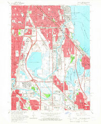
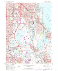
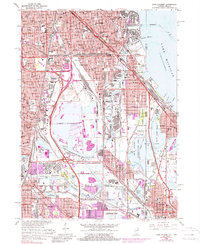
Editions of this 1965 Lake Calumet Map
4 editions found
Other maps of this area

1889 · Chicago
USGS Topo · 1:62,500

1891 · Chicago
USGS Topo · 1:62,500

1892 · Calumet
USGS Topo · 1:62,500

1893 · Calumet
USGS Topo · 1:62,500

1900 · Chicago
USGS Topo · 1:62,500

1900 · Toleston
USGS Topo · 1:62,500

1900 · Calumet
USGS Topo · 1:62,500

1901 · Calumet
USGS Topo · 1:62,500

1901 · Chicago
USGS Topo · 1:62,500

1929 · Calumet Lake
USGS Topo · 1:24,000