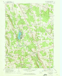
1967 Map of Lake Canadohta
USGS Topo · Published 1972About this map
Lake Canadohta serves as the focal point for this section of Crawford County, bordered by the dense seasonal developments of the mid-1960s. The landscape is defined by the transition from recreation to agriculture, with the Canadohta Ski Slope and Shreve Ridge Camp positioned near the water, while rural hamlets like Lincolnville and Riceville anchor the surrounding townships. The map documents a complex network of past and present transportation, including an Old West Railroad Grade and several other abandoned corridors that once supported the local timber and oil economies. Genealogists will find significant value in the recorded locations of the Bloomfield Burying Ground, Mt Pleasant Cem, and Riceville Cem, alongside small community landmarks such as the Bloomfield Sch and Cottage Hill Ch. The presence of State Game Lands No 202 and State Game Lands No 199 highlights the region's commitment to conservation amidst its small-town clusters.
Find a feature on this map
46 named features on this map. Tap any name to fly to it.
Don’t see what you’re looking for? This feature index may not catch every label — zoom into the map to look around manually.
Map Details
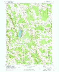
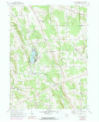
Editions of this 1967 Lake Canadohta Map
3 editions found
Other maps of this area

1927 · Townville
USGS Topo · 1:48,000

1927 · Titusville
USGS Topo · 1:62,500

1929 · Corry
USGS Topo · 1:48,000

1929 · Union City
USGS Topo · 1:62,500

1932 · Corry
USGS Topo · 1:62,500

1932 · Townville
USGS Topo · 1:62,500

1932 · Union City
USGS Topo · 1:62,500

1933 · Titusville
USGS Topo · 1:62,500

1945 · Townville
USGS Topo · 1:62,500

1957 · Warren
USGS Topo · 1:250,000