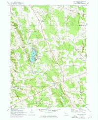
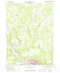
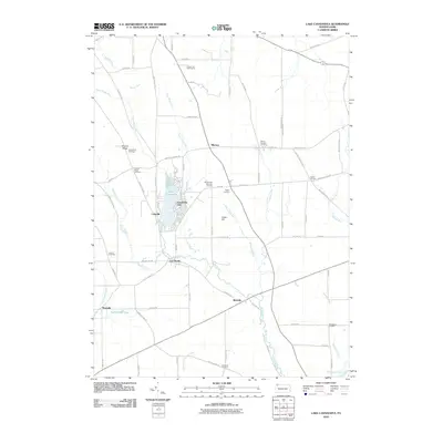
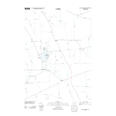
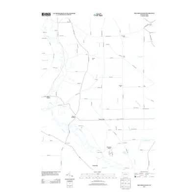
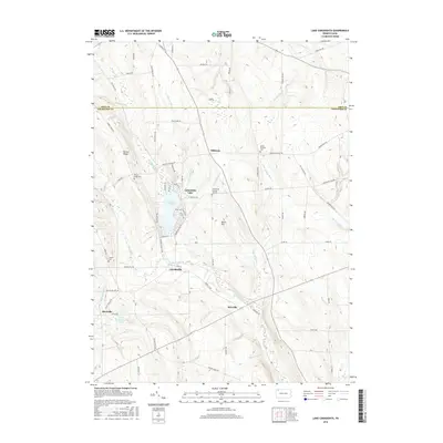
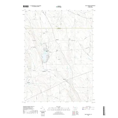
1967 Map of Lake Canadohta
USGS Topo · Published 1974About this map
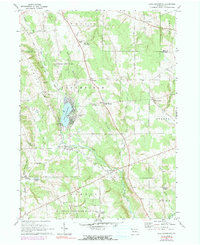
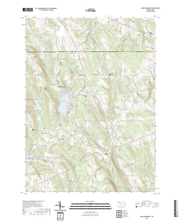
Lake Canadohta serves as the focal point of this northern Crawford County landscape, surrounded by a mix of recreation and quiet rural settlements. By the mid-1960s, the shoreline supported a Boat Ramp and the nearby Canadohta Ski Slope, while the Union City Country Club provided inland leisure. The map records a deep layer of local history through its many family-named crossroads and hamlets, including Riceville, Lincolnville, and Tillotson.
Find a feature on this map
44 named features on this map. Tap any name to fly to it.
Don’t see what you’re looking for? This feature index may not catch every label — zoom into the map to look around manually.
Map Details
Editions of this 1967 Lake Canadohta Map
3 editions found
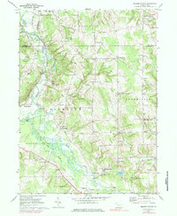
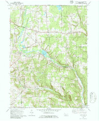
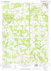
Historical Maps of Concord Township Through Time
42 maps found
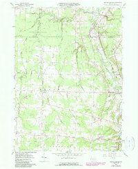
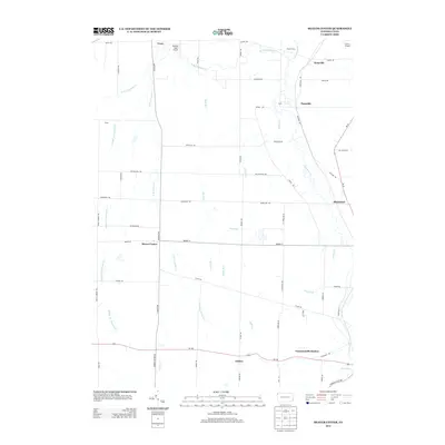
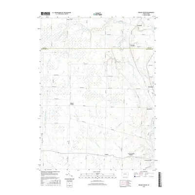
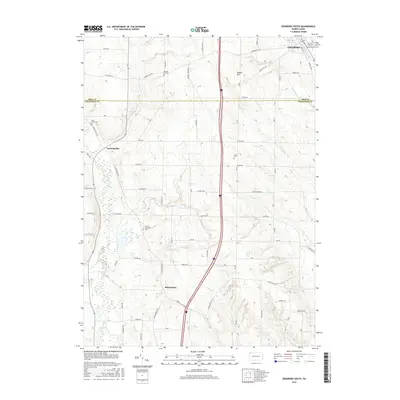
1959 Beaver Center
Crawford County, PA
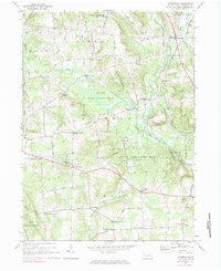
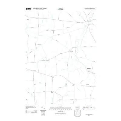
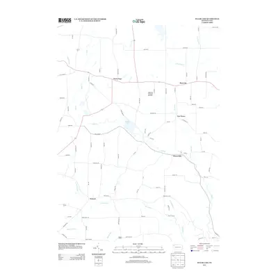
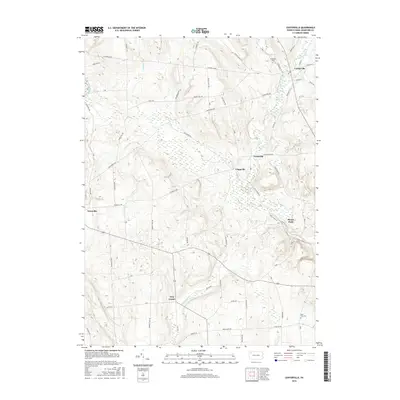
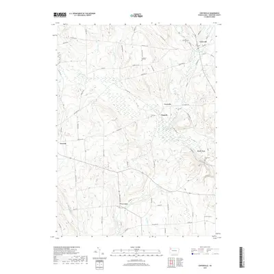
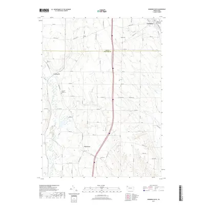
1967 Centerville
Crawford County, PA
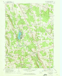
1967 Lake Canadohta
Crawford County, PA
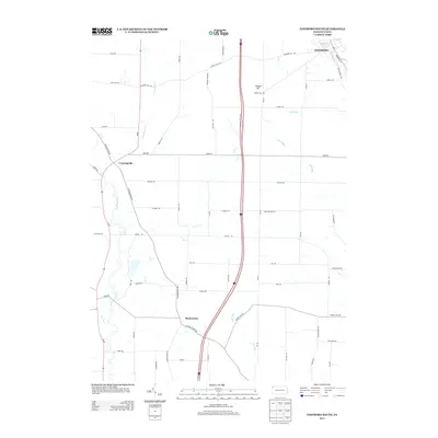
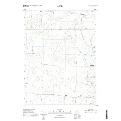
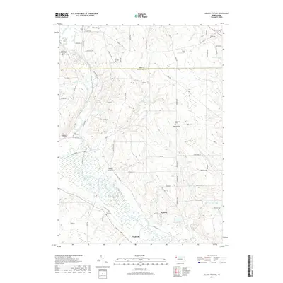
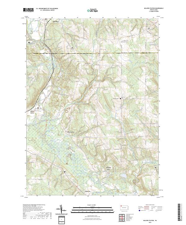
1967 Millers Station
Crawford County, PA
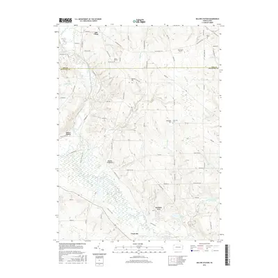
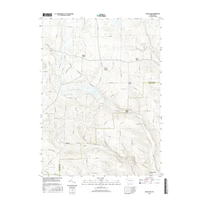
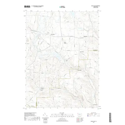
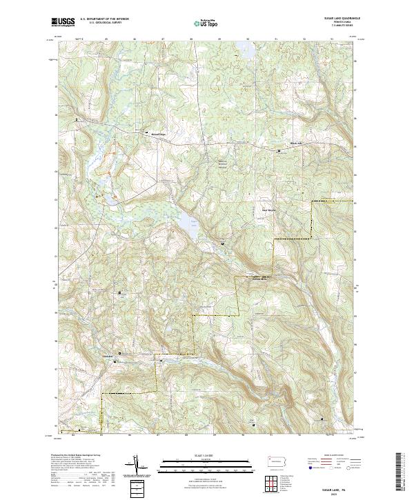
1967 Sugar Lake
Crawford County, PA
1968 Edinboro South
Crawford County, PA
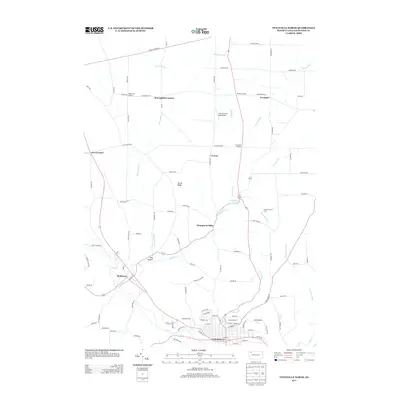
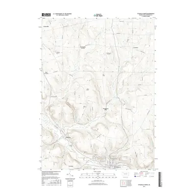
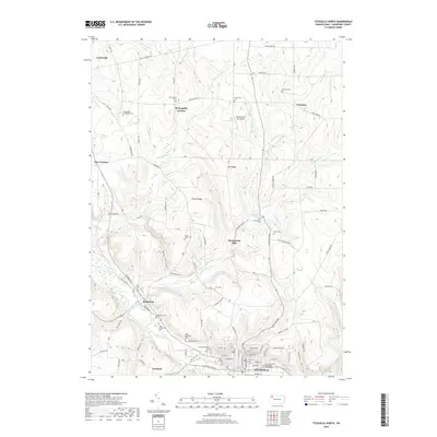
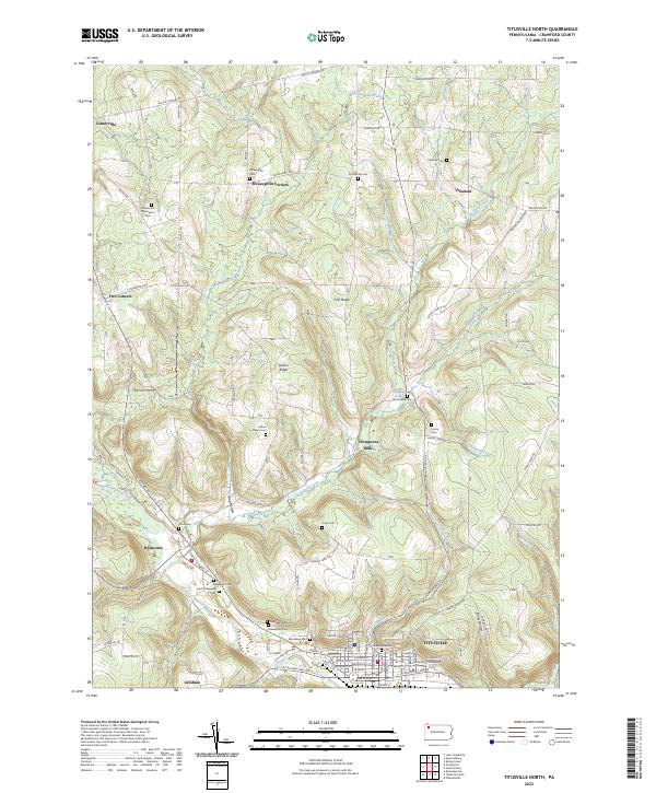
1968 Titusville North
Crawford County, PA
2010 Beaver Center
Crawford County, PA
2010 Centerville
Crawford County, PA
2010 Edinboro South
Crawford County, PA
2010 Lake Canadohta
Crawford County, PA
2010 Millers Station
Crawford County, PA
2010 Sugar Lake
Crawford County, PA
2010 Titusville North
Crawford County, PA
2013 Beaver Center
Crawford County, PA
2013 Centerville
Crawford County, PA
2013 Edinboro South
Crawford County, PA
2013 Lake Canadohta
Crawford County, PA
2013 Millers Station
Crawford County, PA
2013 Sugar Lake
Crawford County, PA
2013 Titusville North
Crawford County, PA
2016 Beaver Center
Crawford County, PA
2016 Centerville
Crawford County, PA
2016 Edinboro South
Crawford County, PA
2016 Lake Canadohta
Crawford County, PA
2016 Millers Station
Crawford County, PA
2016 Sugar Lake
Crawford County, PA
2016 Titusville North
Crawford County, PA
2019 Beaver Center
Crawford County, PA
2019 Centerville
Crawford County, PA
2019 Edinboro South
Crawford County, PA
2019 Lake Canadohta
Crawford County, PA
2019 Millers Station
Crawford County, PA
2019 Sugar Lake
Crawford County, PA
2019 Titusville North
Crawford County, PA
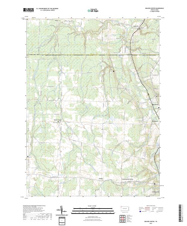
2023 Beaver Center
Crawford County, PA
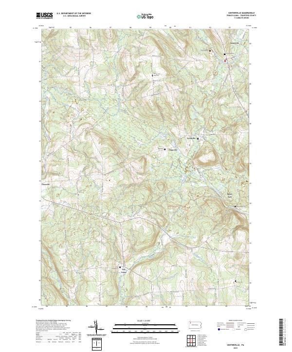
2023 Centerville
Crawford County, PA
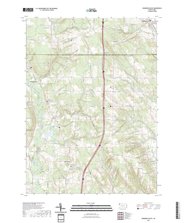
2023 Edinboro South
Crawford County, PA
2023 Lake Canadohta
Crawford County, PA
2023 Millers Station
Crawford County, PA
2023 Sugar Lake
Crawford County, PA
2023 Titusville North
Crawford County, PA
Featured Locations
- Sparta Township, PA
- Concord Township, PA
- Clements Corners, Athens Township
- Canadohta Lake, Bloomfield Township
- Lincolnville, Bloomfield Township