
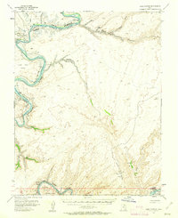
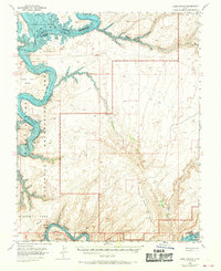
1953 Map of Lake Canyon
USGS Topo · Published 1956About this map
Colorado River and San Juan River meander through this 1953 survey, illustrating a landscape of deep canyons and significant archaeological sites. The presence of Cliff Dwellings near a Waterfall along Lake Canyon points to a long history of human occupation in this remote corner of southeastern Utah. Navigation through the complex terrain is marked by the Hall Trail, while the riverbanks feature numerous bars such as Amphitheater Bar, Boston Bar, and Shock Bar, which were historical points of interest for early river travelers.
Find a feature on this map
28 named features on this map. Tap any name to fly to it.
Don’t see what you’re looking for? This feature index may not catch every label — zoom into the map to look around manually.
Map Details
Editions of this 1953 Lake Canyon Map
3 editions found
Other maps of this area

1886 · Henry Mountains
USGS Topo · 1:250,000

1892 · Henry Mountains
USGS Topo · 1:250,000

1952 · Mancos Mesa
USGS Topo · 1:62,500

1952 · Clay Hills 3 NW
USGS Topo · 1:24,000

1952 · Navajo Mountain 4 NE
USGS Topo · 1:24,000

1952 · Oljeto
USGS Topo · 1:62,500

1953 · Navajo Mountain 4 NW
USGS Topo · 1:24,000

1953 · The Rincon
USGS Topo · 1:62,500

1953 · Mt. Ellsworth
USGS Topo · 1:62,500

1953 · Hall Mesa
USGS Topo · 1:62,500