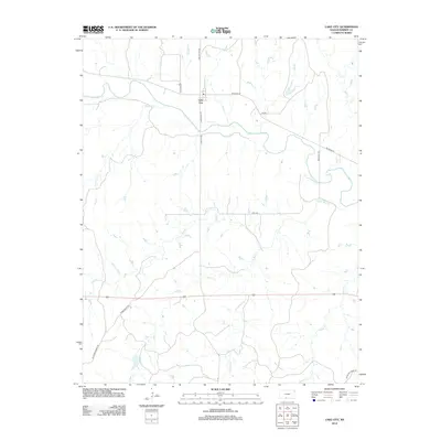
2012 Map of Lake City
USGS Topo · Published 2012About this map
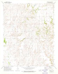
The Medicine Lodge River winds through this Barber County landscape, anchoring the small settlement of Lake City. This 2012 survey illustrates a predominantly rural environment defined by a dense network of seasonal and perennial drainage systems including Cottonwood Cr and Sand Cr. The layout of Lake City is articulated through local thoroughfares such as S Seminary St and Lake City Rd, which connect the river valley to the surrounding plains. The geography is marked by numerous watercourses, with Little Bear Cr, Dog Cr, and Puckett Cr carving through the terrain. The presence of several long-established rural routes like Tumbleweed Rd and NW River Rd highlights the enduring agricultural and ranching infrastructure that has shaped this portion of Kansas for generations.
Find a feature on this map
20 named features on this map. Tap any name to fly to it.
Don’t see what you’re looking for? This feature index may not catch every label — zoom into the map to look around manually.
Map Details
Editions of this 2012 Lake City Map
This is the sole edition of this map. No revisions or reprints were ever made.
Other maps of this area

1891 · Medicine Lodge
USGS Topo · 1:125,000

1893 · Medicine Lodge
USGS Topo · 1:125,000

1955 · Pratt
USGS Topo · 1:250,000

1959 · Pratt
USGS Topo · 1:250,000

1968 · Sun City SW
USGS Topo · 1:24,000
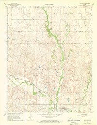
1968 · Sun City
USGS Topo · 1:24,000

1973 · Hardtner NW
USGS Topo · 1:24,000
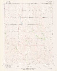
1973 · Sun City NE
USGS Topo · 1:24,000
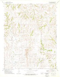
1973 · Pump Creek
USGS Topo · 1:24,000
1973 · Deerhead
USGS Topo · 1:24,000