
1962 Map of Lake City East
USGS Topo · Published 1964About this map
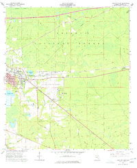
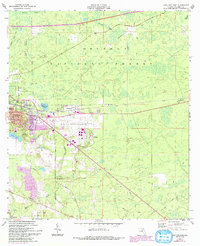
Lake City is captured here as a growing regional hub in the early 1960s, defined by its complex convergence of rail and air transport. The Seaboard Air Line and Southern railroads intersect near the residential core, while the Lake City Municipal Airport anchors the landscape to the east. Surrounding the urban center are distinct smaller settlements like Watertown and Wilburn, which are physically separated from the city by a series of wetlands and water bodies including Watertown Lake and Alligator Lake. To the north and east, the dense woodland of the Osceola National Forest begins, crisscrossed by trails and the waters of Falling Creek. Local genealogy and social history are well-represented by several country churches and burial grounds, such as Truvine Ch, Bethlehem Ch, and the Price Creek Cem, showing the established community fabric outside the main town limits.
Find a feature on this map
28 named features on this map. Tap any name to fly to it.
Don’t see what you’re looking for? This feature index may not catch every label — zoom into the map to look around manually.
Map Details
Editions of this 1962 Lake City East Map
3 editions found
Other maps of this area

1954 · Valdosta
USGS Topo · 1:250,000

1958 · Valdosta
USGS Topo · 1:250,000

1959 · Valdosta
USGS Topo · 1:250,000

1961 · Deep Creek
USGS Topo · 1:24,000

1961 · White Springs East
USGS Topo · 1:24,000

1963 · Olustee
USGS Topo · 1:24,000

1963 · Ellisville
USGS Topo · 1:24,000

1963 · Columbia
USGS Topo · 1:24,000

1963 · Lake City West
USGS Topo · 1:24,000
1966 · Lulu
USGS Topo · 1:24,000