
1956 Map of Lake City
USGS Topo · Published 1958About this map
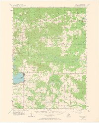
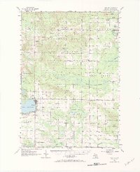
The town of Lake City serves as the hub of this mid-1950s landscape, situated along the eastern shore of Lake Missaukee. The surrounding terrain is a mosaic of public lands and scattered rural communities including Pioneer, Stittsville, and Aetna. The influence of the logging and land-use history is evident in the vast tracts of the Houghton Lake State Forest and named wetlands like Scatuse Marsh and Dead Stream Swamp.
Find a feature on this map
62 named features on this map. Tap any name to fly to it.
Don’t see what you’re looking for? This feature index may not catch every label — zoom into the map to look around manually.
Map Details
Editions of this 1956 Lake City Map
3 editions found
Other maps of this area

1949 · Fletcher
USGS Topo · 1:62,500

1950 · Fletcher
USGS Topo · 1:24,000

1954 · Traverse City
USGS Topo · 1:250,000

1956 · Kalkaska
USGS Topo · 1:62,500

1956 · Fife Lake
USGS Topo · 1:62,500

1956 · Houghton Lake
USGS Topo · 1:62,500

1956 · Cadillac North
USGS Topo · 1:62,500

1957 · Harrison
USGS Topo · 1:62,500

1957 · Cadillac South
USGS Topo · 1:62,500

1957 · Marion
USGS Topo · 1:62,500