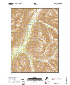
2018 Map of Lake Clark C-1 SW
USGS Topo · Published 2018About this map
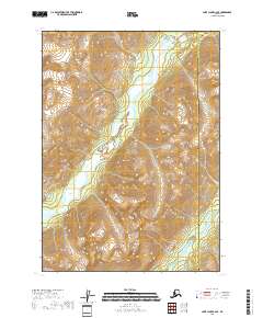
The Lake Clark National Park dominates this wilderness landscape within the Kenai Peninsula Borough. Centered on the winding course of the Chokotonk River, the map documents a terrain of extreme vertical relief where elevations climb rapidly from the river valley toward numerous unnamed peaks. This 2018 survey reveals a landscape largely devoid of human infrastructure, focusing instead on the complex hydrography and alpine topography of the region. The map’s precision in depicting the braided channels of the Chokotonk and the surrounding glacial valleys provides a detailed record of this protected Alaskan corridor as it existed in the early 21st century.
Find a feature on this map
6 named features on this map. Tap any name to fly to it.
Don’t see what you’re looking for? This feature index may not catch every label — zoom into the map to look around manually.
Map Details
Editions of this 2018 Lake Clark C-1 SW Map
This is the sole edition of this map. No revisions or reprints were ever made.
Other maps of this area

1946 · Lake Clark
USGS Topo · 1:250,000

1951 · Lake Clark
USGS Topo · 1:250,000

1958 · Lake Clark B-1
USGS Topo · 1:63,360

1958 · Lake Clark C-2
USGS Topo · 1:63,360
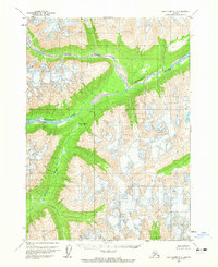
1958 · Lake Clark C-1
USGS Topo · 1:63,360
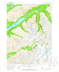
1958 · Lake Clark B-2
USGS Topo · 1:63,360

1958 · Lake Clark
USGS Topo · 1:250,000
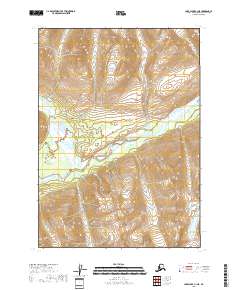
2018 · Lake Clark C-1 NE
USGS Topo · 1:25,000
2018 · Lake Clark C-2 SE
USGS Topo · 1:25,000
2018 · Lake Clark C-1 SE
USGS Topo · 1:25,000