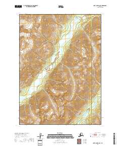
2018 Map of Lake Clark C-2 SE
USGS Topo · Published 2018About this map
Aleutian Range peaks dominate this high-latitude terrain within the protected wilderness of Lake Clark National Park. The landscape is defined by the broad glacial valley of the Tlikakila River, which flows southwesterly through the center of the quadrangle. This 2018 survey captures the intricate drainage patterns where smaller tributaries descend from steep ridges to join the main river system. Near the southern edge of the map, the Chokotonk River cuts through the southeastern mountains. The map also delineates the administrative boundary between the Lake and Peninsula Borough and the Kenai Peninsula Borough, highlighting how these political borders are drawn across remote, roadless mountain passes and river corridors.
Find a feature on this map
9 named features on this map. Tap any name to fly to it.
Don’t see what you’re looking for? This feature index may not catch every label — zoom into the map to look around manually.
Map Details
Editions of this 2018 Lake Clark C-2 SE Map
This is the sole edition of this map. No revisions or reprints were ever made.
Other maps of this area

1946 · Lake Clark
USGS Topo · 1:250,000

1951 · Lake Clark
USGS Topo · 1:250,000

1958 · Lake Clark B-1
USGS Topo · 1:63,360

1958 · Lake Clark C-2
USGS Topo · 1:63,360
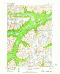
1958 · Lake Clark C-1
USGS Topo · 1:63,360
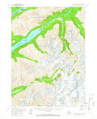
1958 · Lake Clark B-2
USGS Topo · 1:63,360

1958 · Lake Clark
USGS Topo · 1:250,000
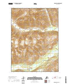
2018 · Lake Clark C-1 NW
USGS Topo · 1:25,000
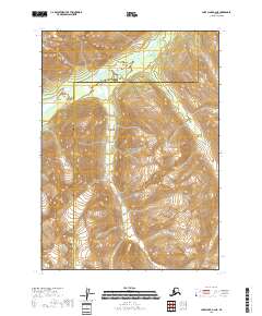
2018 · Lake Clark B-2 NE
USGS Topo · 1:25,000
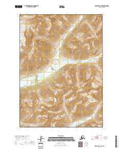
2018 · Lake Clark C-2 NW
USGS Topo · 1:25,000