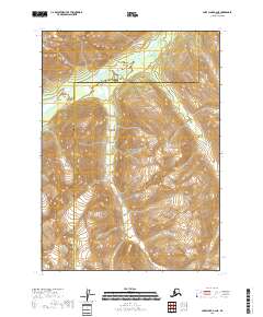
2018 Map of Lake Clark B-2 NE
USGS Topo · Published 2018About this map
Lake Clark National Park dominates this high-altitude landscape along the border of the Lake and Peninsula Borough and the Kenai Peninsula Borough. The area is defined by massive glacial valleys and steep ridgelines, with the Chokotonk River cutting a wide course through the northern portion of the quadrangle. This 2018 survey illustrates the complex drainage patterns of the river as it winds through braided channels and expansive wetlands. The terrain is notably devoid of human settlements or infrastructure, highlighting the preservation of this wilderness area within the national park system. The map serves as a precise record of the natural topography, from the high peaks to the valley floor, showing the raw geological character of the southern Alaska interior.
Find a feature on this map
9 named features on this map. Tap any name to fly to it.
Don’t see what you’re looking for? This feature index may not catch every label — zoom into the map to look around manually.
Map Details
Editions of this 2018 Lake Clark B-2 NE Map
This is the sole edition of this map. No revisions or reprints were ever made.
Other maps of this area

1946 · Lake Clark
USGS Topo · 1:250,000

1951 · Lake Clark
USGS Topo · 1:250,000

1958 · Lake Clark B-1
USGS Topo · 1:63,360

1958 · Lake Clark C-2
USGS Topo · 1:63,360
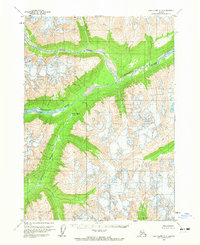
1958 · Lake Clark C-1
USGS Topo · 1:63,360
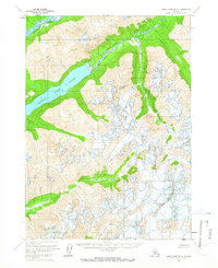
1958 · Lake Clark B-2
USGS Topo · 1:63,360

1958 · Lake Clark
USGS Topo · 1:250,000
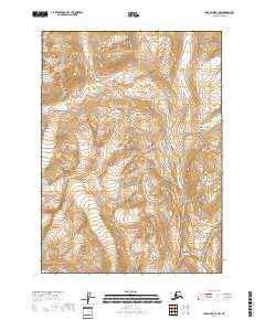
2018 · Lake Clark B-1 SW
USGS Topo · 1:25,000
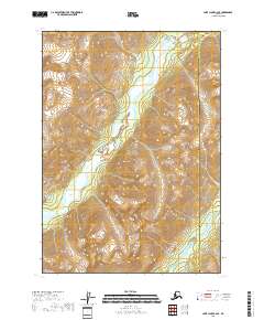
2018 · Lake Clark C-2 SE
USGS Topo · 1:25,000
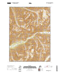
2018 · Lake Clark B-2 SW
USGS Topo · 1:25,000