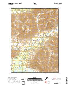
2018 Map of Lake Clark C-3 SE
USGS Topo · Published 2018About this map
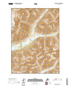
Lake Clark National Park encompasses this high-altitude landscape where the Aleutian Range creates a steep backdrop of ridges and valleys. The Kijik River winds through the central and southern portions of the map, carving a drainage path toward the southwest. This hydrological pattern defines the lower elevations, where the river's movement is recorded alongside smaller tributaries and wetlands. In the southern margin, Portage Lake appears as a significant water body, likely serving as a seasonal landmark in this undeveloped corridor. The absence of roads or established structures highlights the preservation of this region within the national park system, where the terrain is shaped entirely by natural forces. Map researchers will find a clear representation of the topographic relief and the complex river systems that characterize this part of the Lake and Peninsula Borough.
Find a feature on this map
8 named features on this map. Tap any name to fly to it.
Don’t see what you’re looking for? This feature index may not catch every label — zoom into the map to look around manually.
Map Details
Editions of this 2018 Lake Clark C-3 SE Map
This is the sole edition of this map. No revisions or reprints were ever made.
Other maps of this area

1946 · Lake Clark
USGS Topo · 1:250,000

1951 · Lake Clark
USGS Topo · 1:250,000

1954 · Lake Clark C-3
USGS Topo · 1:63,360

1954 · Lake Clark B-3
USGS Topo · 1:63,360

1958 · Lake Clark C-2
USGS Topo · 1:63,360
1958 · Lake Clark B-2
USGS Topo · 1:63,360

1958 · Lake Clark
USGS Topo · 1:250,000
2018 · Lake Clark B-3 NE
USGS Topo · 1:25,000
2018 · Lake Clark C-3 NE
USGS Topo · 1:25,000
2018 · Lake Clark C-2 NW
USGS Topo · 1:25,000