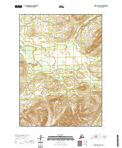
2018 Map of Lake Clark C-5 SW
USGS Topo · Published 2018About this map
The Chilikadrotna River flows westward through the center of this remote Alaskan terrain, where the landscape is defined by its pristine waterways and elevation changes. In the northern reaches of the quadrangle, the headwaters of Ptarmigan Cr and Big Bonanza Cr descend through high-altitude basins, following the natural drainage patterns of the Lake and Peninsula Borough. This 2018 survey reveals a wild landscape devoid of modern settlements or road infrastructure, showing only the fundamental topography and the complex hydrography that dictates the character of the region. The map provides a precise record of the river's winding path and the surrounding mountainous landforms, which remain largely untouched by human development in the early 21st century.
Find a feature on this map
7 named features on this map. Tap any name to fly to it.
Don’t see what you’re looking for? This feature index may not catch every label — zoom into the map to look around manually.
Map Details
Editions of this 2018 Lake Clark C-5 SW Map
This is the sole edition of this map. No revisions or reprints were ever made.
Other maps of this area

1946 · Lake Clark
USGS Topo · 1:250,000

1951 · Lake Clark
USGS Topo · 1:250,000

1954 · Lake Clark C-6
USGS Topo · 1:63,360

1954 · Lake Clark B-5
USGS Topo · 1:63,360

1954 · Lake Clark C-5
USGS Topo · 1:63,360

1954 · Lake Clark B-6
USGS Topo · 1:63,360

1958 · Lake Clark
USGS Topo · 1:250,000
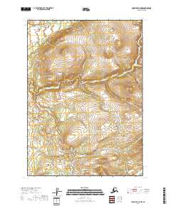
2018 · Lake Clark C-5 NW
USGS Topo · 1:25,000
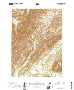
2018 · Lake Clark B-5 NW
USGS Topo · 1:25,000
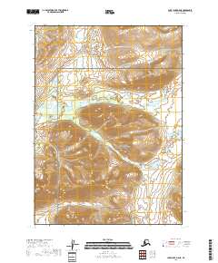
2018 · Lake Clark B-5 NE
USGS Topo · 1:25,000