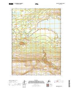
2020 Map of Lake Clark D-3 NW
USGS Topo · Published 2020About this map
Lake Clark National Preserve dominates this portion of the Alaskan wilderness, where the glacial waters of Telaquana Lake meet the headwaters of the Telaquana River. The topography shifts from the expansive wetland basins surrounding the lake to the ascending southern slopes of the interior. The landscape is defined by its drainage patterns, with Trail Cr and Summit Cr carving through the terrain as it crosses the boundary between the Bethel Census Area and Lake and Peninsula Borough. This map captures a strictly natural landscape, showing no human settlements or permanent structures, reflecting the protected status of the preserve and the extreme isolation of this subarctic environment near the western edge of the Alaska Range.
Find a feature on this map
12 named features on this map. Tap any name to fly to it.
Don’t see what you’re looking for? This feature index may not catch every label — zoom into the map to look around manually.
Map Details
Editions of this 2020 Lake Clark D-3 NW Map
This is the sole edition of this map. No revisions or reprints were ever made.
Other maps of this area

1946 · Lake Clark
USGS Topo · 1:250,000

1951 · Lake Clark
USGS Topo · 1:250,000

1951 · Lime Hills
USGS Topo · 1:250,000

1954 · Lime Hills A-3
USGS Topo · 1:63,360

1954 · Lake Clark D-3
USGS Topo · 1:63,360

1954 · Lime Hills A-4
USGS Topo · 1:63,360

1954 · Lake Clark D-4
USGS Topo · 1:63,360

1958 · Lake Clark
USGS Topo · 1:250,000

1958 · Lime Hills
USGS Topo · 1:250,000
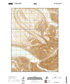
2018 · Lake Clark D-3 SE
USGS Topo · 1:25,000