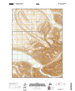
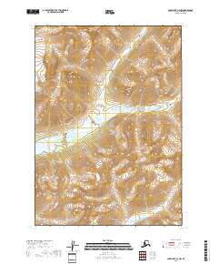
2018 Map of Lake Clark D-3 SE
USGS Topo · Published 2018About this map
Turquoise Lake and the high elevations of the Aleutian Range dominate this portion of the Alaska wilderness. This survey captures a boundary of conservation, where the Lake Clark National Park meets the Lake Clark National Preserve. The landscape is defined by its dramatic relief, moving from the glacial waters of the lake up toward the heights of Telaquana Mtn. Without any roads or human settlements indicated, the map highlights the natural hydrography of the region, specifically Trail Creek, which flows through the steep valleys of the northern section. This 2018 edition provides a modern topographic record of the shifting terrain within these federally protected lands, documenting a segment of the Lake and Peninsula Borough where the peaks and water bodies are the primary landmarks.
Find a feature on this map
10 named features on this map. Tap any name to fly to it.
Don’t see what you’re looking for? This feature index may not catch every label — zoom into the map to look around manually.
Map Details
Editions of this 2018 Lake Clark D-3 SE Map
This is the sole edition of this map. No revisions or reprints were ever made.
Other maps of this area

1946 · Lake Clark
USGS Topo · 1:250,000

1951 · Lake Clark
USGS Topo · 1:250,000

1954 · Lake Clark C-3
USGS Topo · 1:63,360

1954 · Lake Clark D-3
USGS Topo · 1:63,360
1958 · Lake Clark D-2
USGS Topo · 1:63,360

1958 · Lake Clark C-2
USGS Topo · 1:63,360

1958 · Lake Clark
USGS Topo · 1:250,000
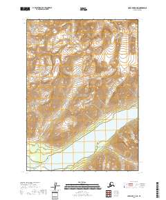
2018 · Lake Clark C-3 NE
USGS Topo · 1:25,000
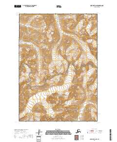
2018 · Lake Clark D-2 SW
USGS Topo · 1:25,000
2018 · Lake Clark C-2 NW
USGS Topo · 1:25,000