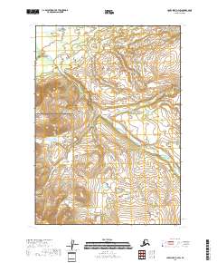
2018 Map of Lake Clark D-4 SW
USGS Topo · Published 2018About this map
Lake Clark National Preserve dominates this section of the Alaska interior, protecting a landscape where water and terrain define the boundaries of the wilderness. The Mulchatna River meanders through the central and eastern portions of the map, carving a path through the lowlands adjacent to the Bonanza Hills. These hills represent a significant topographical rise in the southwest, where the headwaters of small drainages like Ptarmigan Cr begin their descent toward the larger river systems. The drainage patterns of Summit Cr further illustrate the complex hydrology of the region before it reaches more established waterways. This 2018 survey captures the area in its modern state, showing the vast township and range divisions such as t9n r29w and t8n r29w that overlay this undeveloped terrain within the Lake and Peninsula Borough.
Find a feature on this map
9 named features on this map. Tap any name to fly to it.
Don’t see what you’re looking for? This feature index may not catch every label — zoom into the map to look around manually.
Map Details
Editions of this 2018 Lake Clark D-4 SW Map
This is the sole edition of this map. No revisions or reprints were ever made.
Other maps of this area

1946 · Lake Clark
USGS Topo · 1:250,000

1951 · Lake Clark
USGS Topo · 1:250,000

1954 · Lake Clark C-4
USGS Topo · 1:63,360

1954 · Lake Clark D-5
USGS Topo · 1:63,360

1954 · Lake Clark C-5
USGS Topo · 1:63,360

1954 · Lake Clark D-4
USGS Topo · 1:63,360

1958 · Lake Clark
USGS Topo · 1:250,000
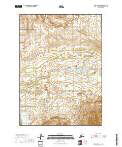
2018 · Lake Clark C-4 NE
USGS Topo · 1:25,000
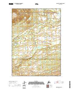
2018 · Lake Clark D-4 NW
USGS Topo · 1:25,000
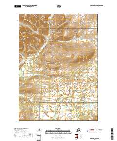
2018 · Lake Clark C-4 NW
USGS Topo · 1:25,000