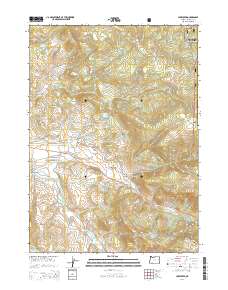
2014 Map of Lake Creek
USGS Topo · Published 2014About this map
Lake Creek serves as the primary settlement hub within this Jackson County landscape, situated at the confluence of the N Fork Little Butte Cr and Little Butte Creek. This 2014 survey documents a complex hydrological network defined by essential water management features, including the Hanley S Canal and multiple storage basins like the Star Lake Reservoir and Wade Reservoir. The topography rises sharply toward the east into the Rogue River National Forest, where peaks such as Esmond Mtn and Heppsie Mtn dominate the horizon. In the lower elevations, the Lake Creek Flats provide a level contrast to the surrounding ridges and gulches. The map reveals the intricate system of Forest Service and BLM roads, such as Salt Creek Rd and the Heppsie Mountain Rd, which have historically facilitated access for timber and land management across the varying elevations of the Little Butte Creek watershed.
Find a feature on this map
53 named features on this map. Tap any name to fly to it.
Don’t see what you’re looking for? This feature index may not catch every label — zoom into the map to look around manually.
Map Details
Editions of this 2014 Lake Creek Map
This is the sole edition of this map. No revisions or reprints were ever made.
Other maps of this area

1891 · Ashland
USGS Topo · 1:250,000

1893 · Ashland
USGS Topo · 1:250,000

1897 · Ashland
USGS Topo · 1:250,000

1938 · Medford
USGS Topo · 1:125,000

1954 · Butte Falls
USGS Topo · 1:62,500

1954 · Lakecreek
USGS Topo · 1:62,500

1955 · Rustler Peak
USGS Topo · 1:62,500

1955 · Mt. Mc Loughlin
USGS Topo · 1:62,500

1955 · Medford
USGS Topo · 1:250,000

1957 · Medford
USGS Topo · 1:250,000