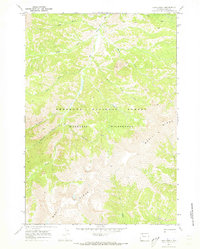
1970 Map of Lake Creek
USGS Topo · Published 1973About this map
Shoshone National Forest defines this high-elevation landscape in Park County, where the topography is characterized by the massive presence of Wapiti Ridge. Mapped in 1970, the area remains remarkably wild, preserved within the Washakie Wilderness where no roads are found, only the established Pack Trail winding through the drainage basins. The intricate network of waterways, including Elk Fork, Lake Creek, and Bloom Creek, illustrates a natural drainage system untouched by development. For the researcher or outdoorsman, the map reveals the specific geographic markers of the era, from the secluded reaches of Seclusion Creek to the descriptive Burned Timber Creek and Bear Gulch. This survey provides an essential record of the high-country terrain before modern satellite mapping, capturing the literal layout of the land as it was navigated on foot or horseback during the early 1970s.
Find a feature on this map
19 named features on this map. Tap any name to fly to it.
Don’t see what you’re looking for? This feature index may not catch every label — zoom into the map to look around manually.
Map Details
Editions of this 1970 Lake Creek Map
2 editions found
Other maps of this area

1893 · Ishawooa
USGS Topo · 1:125,000

1895 · Ishawooa
USGS Topo · 1:125,000

1899 · Ishawooa
USGS Topo · 1:125,000

1955 · Cody
USGS Topo · 1:250,000

1958 · Cody
USGS Topo · 1:250,000

1962 · Cody
USGS Topo · 1:250,000
1970 · Sheep Mesa
USGS Topo · 1:24,000
1970 · Ptarmigan Mountain
USGS Topo · 1:24,000
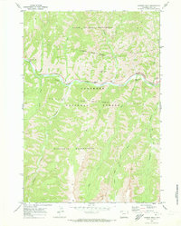
1970 · Chimney Rock
USGS Topo · 1:24,000
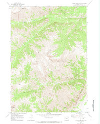
1970 · Clouds Home Peak
USGS Topo · 1:24,000