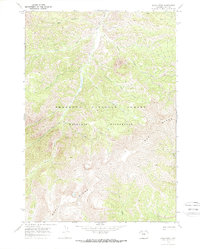
1970 Map of Lake Creek
USGS Topo · Published 1973About this map
Wapiti Ridge dominates the southern landscape of this high-elevation terrain within the Shoshone National Forest, as it was recorded during a 1969-1970 field survey. The drainage network is characterized by the prominent north-flowing Elk Fork and its numerous tributaries, including Bloom Creek and Sweetwater Creek. This environment is preserved as the Washakie Wilderness, where the lack of developed roads is compensated for by a primitive Pack Trail winding along the watercourses. The map provides a detailed look at the watershed's topography, from the sharp relief of the Wapiti Ridge to the steep descent of Rampart Creek and its associated Falls. Such maps are essential for understanding the remote hydrology of the Yellowstone River basin, showing the interplay between name-bearing features like Elizabeth Creek and the deep drainage of Bear Gulch.
Find a feature on this map
19 named features on this map. Tap any name to fly to it.
Don’t see what you’re looking for? This feature index may not catch every label — zoom into the map to look around manually.
Map Details
Editions of this 1970 Lake Creek Map
2 editions found
Other maps of this area

1893 · Ishawooa
USGS Topo · 1:125,000

1895 · Ishawooa
USGS Topo · 1:125,000

1899 · Ishawooa
USGS Topo · 1:125,000

1955 · Cody
USGS Topo · 1:250,000

1958 · Cody
USGS Topo · 1:250,000

1962 · Cody
USGS Topo · 1:250,000
1970 · Sheep Mesa
USGS Topo · 1:24,000
1970 · Ptarmigan Mountain
USGS Topo · 1:24,000
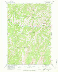
1970 · Chimney Rock
USGS Topo · 1:24,000
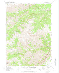
1970 · Clouds Home Peak
USGS Topo · 1:24,000