
1922 Map of Lake Crescent
USGS Topo · Published 1922About this map
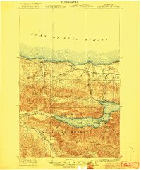
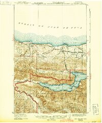
The Juan de Fuca Strait shoreline and the deep basin of Lake Crescent define this corner of the Olympic Peninsula in the early 1920s. This survey records a landscape in transition, where established maritime landings like Gettysburg and Twin Rivers at the mouth of Twin River meet the expanding reach of the Chicago Milwaukee and St Paul railroad. The interior is a hub of early recreation and industry, featuring the Crescent Lake Tavern, the Fish Hatchery, and the Olympic Highway skirting the lake's northern shore.
Find a feature on this map
53 named features on this map. Tap any name to fly to it.
Don’t see what you’re looking for? This feature index may not catch every label — zoom into the map to look around manually.
Map Details
Editions of this 1922 Lake Crescent Map
3 editions found
Other maps of this area

1918 · Lake Crescent
USGS Topo · 1:62,500

1919 · Port Crescent
USGS Topo · 1:62,500

1922 · Pysht
USGS Topo · 1:62,500

1935 · Mount Olympus
USGS Topo · 1:62,500

1939 · Mount Tom
USGS Topo · 1:62,500

1942 · Pysht
USGS Topo · 1:62,500

1942 · Mount Olympus
USGS Topo · 1:62,500

1943 · Spruce Mountain
USGS Topo · 1:62,500

1943 · Copalis Beach
USGS Topo · 1:250,000

1950 · Mount Muller
USGS Topo · 1:24,000