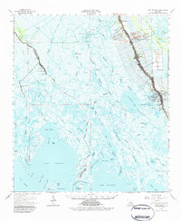
1964 Map of Lake Felicity
USGS Topo · Published 1984About this map
The corridor of Bayou Lafourche serves as the industrial and social backbone for this mid-1960s coastal landscape, anchoring the linear settlements of Galliano, Golden Meadow, and Belle Amie. The map reveals a high-density ribbon of development along the waterway, contrasted against the expansive surrounding wetlands of Terrebonne Parish and Lafourche Parish. This era captures the significant footprint of the energy industry, with the Bully Camp Gas Field, Clovelly Oil and Gas Field, and Jean Plaisance Field marking the marshland with canals and drill holes. Local history is preserved in landmarks such as the Lower Pointe au Chien Sch and several family-named burial grounds like Cheramie Cem and Hebert Cem. The intricate hydrology of the region is documented through named features like Catfish Lake and Lake Raccourci, illustrating the fragile transition from bayou to open gulf water.
Find a feature on this map
85 named features on this map. Tap any name to fly to it.
Don’t see what you’re looking for? This feature index may not catch every label — zoom into the map to look around manually.
Map Details
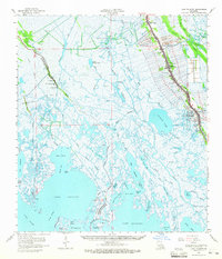
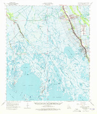
Editions of this 1964 Lake Felicity Map
3 editions found
Other maps of this area

1892 · Barataria
USGS Topo · 1:62,500

1892 · Cheniere Caminada
USGS Topo · 1:62,500

1892 · Cut-Off
USGS Topo · 1:62,500

1892 · Houma
USGS Topo · 1:62,500

1892 · Creole
USGS Topo · 1:62,500

1894 · Timbalier
USGS Topo · 1:62,500

1894 · Lake Felicity
USGS Topo · 1:62,500

1894 · Dulac
USGS Topo · 1:62,500

1932 · Houma SE
USGS Topo · 1:31,680

1935 · Bourbeux
USGS Topo · 1:31,680