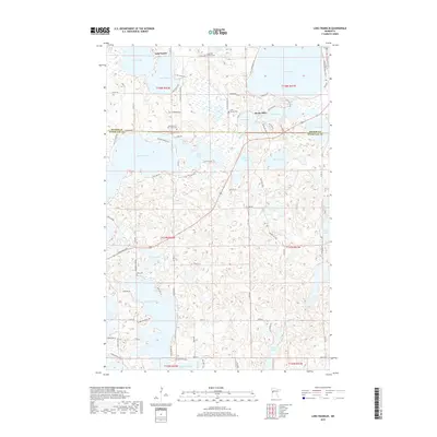
2019 Map of Lake Franklin
USGS Topo · Published 2019About this map
The Pelican River winds through this glacial landscape of western Minnesota, connecting a dense network of water bodies and marshlands. The settlement of Bucks Mill stands near the Mill Pond and Buck Lake, serving as a focal point in a region defined by its lake-centered geography. Genealogists and local historians will find several significant burial sites, including the Augustana Lutheran Cem near Loon Lake and the Saint Mary of the Lakes Cem situated along the shores of Lake Eunice. The map also captures the transition between Becker and Otter Tail counties, showcasing how local roads like Co Rd 17 and Co Rd 22 lace together shoreline communities around Lake Franklin and Lake Melissa.
Find a feature on this map
90 named features on this map. Tap any name to fly to it.
Don’t see what you’re looking for? This feature index may not catch every label — zoom into the map to look around manually.
Map Details
Editions of this 2019 Lake Franklin Map
This is the sole edition of this map. No revisions or reprints were ever made.
Other maps of this area
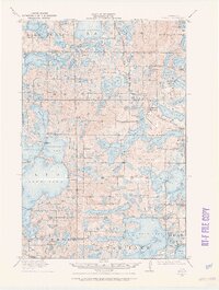
1912 · Vergas
USGS Topo · 1:62,500
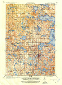
1914 · Pelican Rapids
USGS Topo · 1:62,500
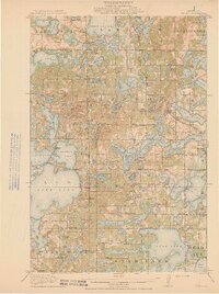
1915 · Vergas
USGS Topo · 1:62,500
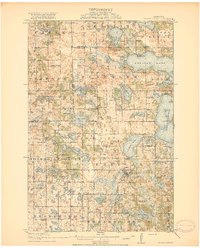
1917 · Pelican Rapids
USGS Topo · 1:62,500

1953 · Fargo
USGS Topo · 1:250,000

1953 · Brainerd
USGS Topo · 1:250,000

1956 · Fargo
USGS Topo · 1:250,000

1957 · Brainerd
USGS Topo · 1:250,000
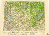
1958 · Brainerd
USGS Topo · 1:250,000
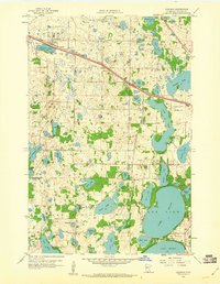
1959 · Audubon
USGS Topo · 1:24,000