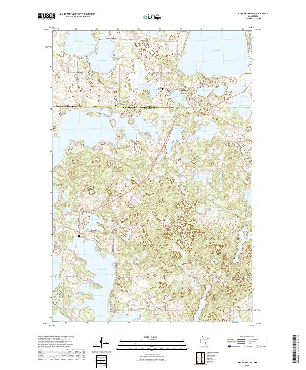
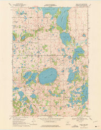
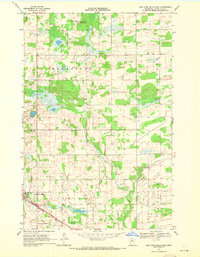
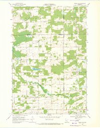
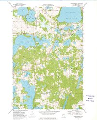
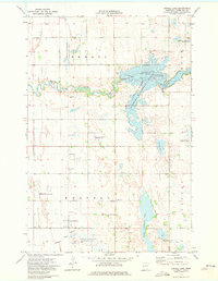
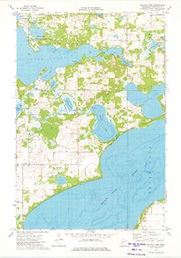
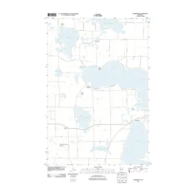
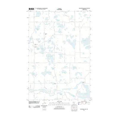
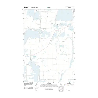
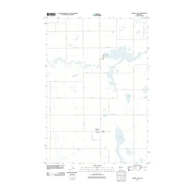
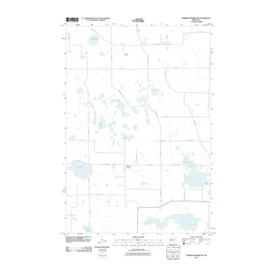
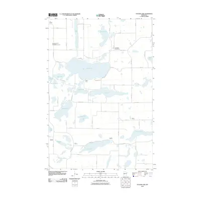
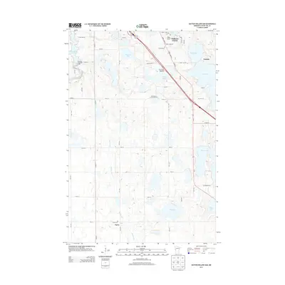
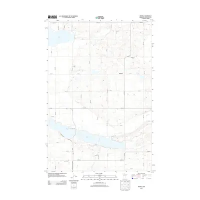
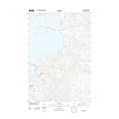
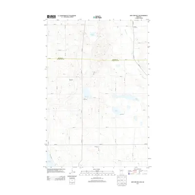
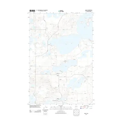
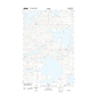
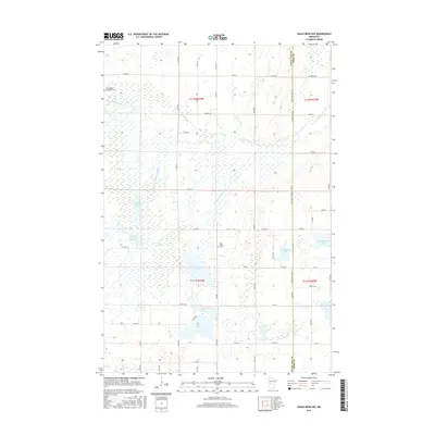
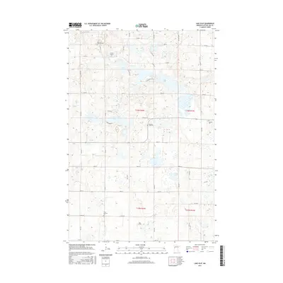
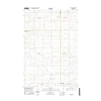
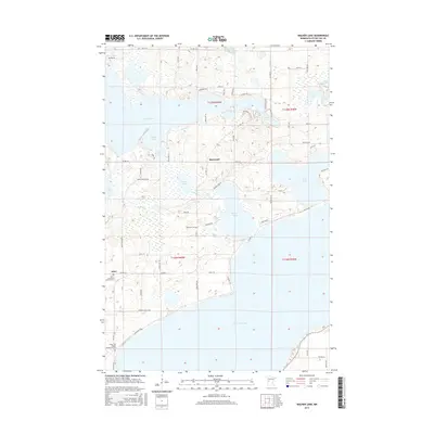
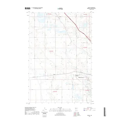
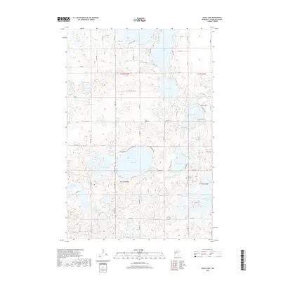
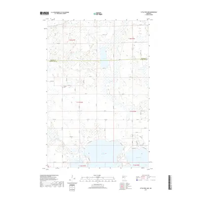
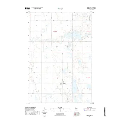
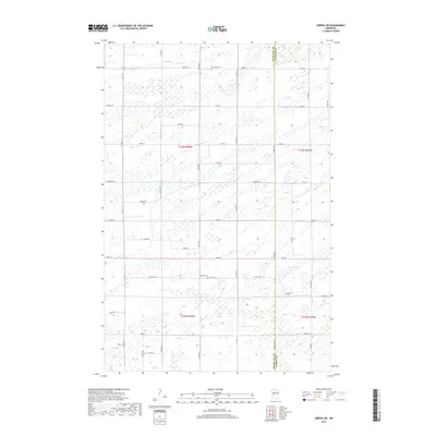
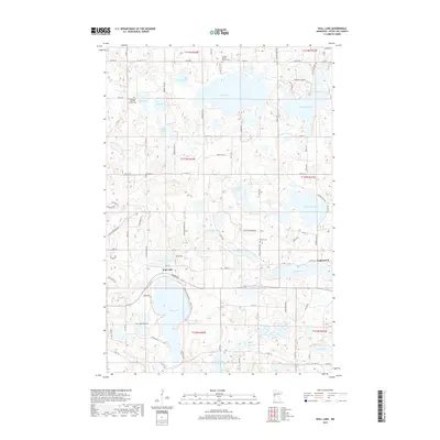
2022 Map of Lake Franklin
USGS Topo · Published 2022About this map
The glacial terrain of West-Central Minnesota is defined by a dense network of water bodies, centered here on Lake Franklin and Lake Eunice. The boundary between Becker and Otter Tail counties bisects this landscape, where the Pelican River flows through a series of interconnected basins including Mill Pond and Buck Lake. This region has long been shaped by small settlements and rural infrastructure, visible in the community at Bucks Mill and the surrounding road network of county and township routes.
Find a feature on this map
87 named features on this map. Tap any name to fly to it.
Don’t see what you’re looking for? This feature index may not catch every label — zoom into the map to look around manually.
Map Details
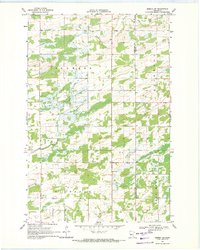
Editions of this 2022 Lake Franklin Map
This is the sole edition of this map. No revisions or reprints were ever made.
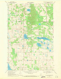
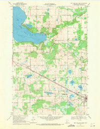
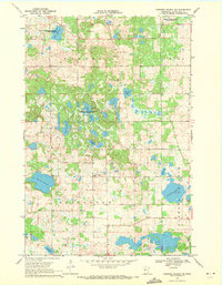
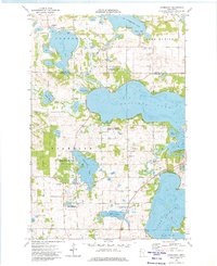
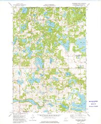
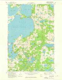
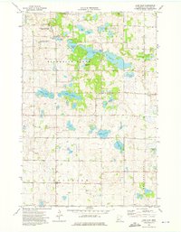
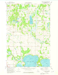
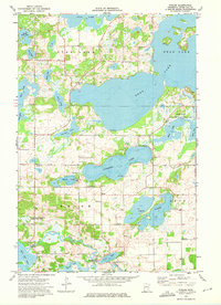
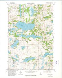
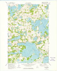
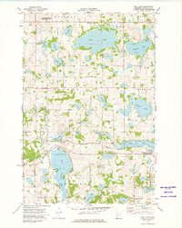
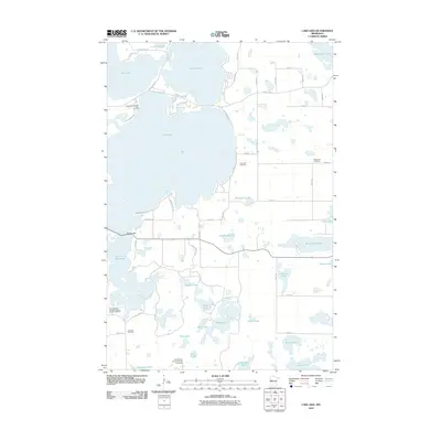
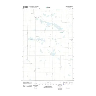
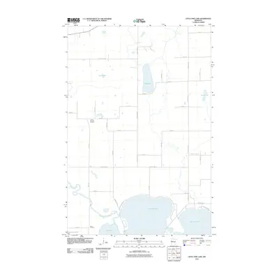
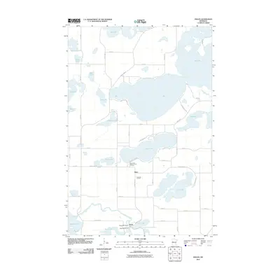
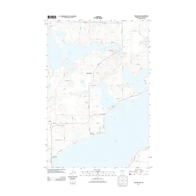
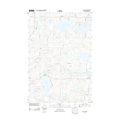
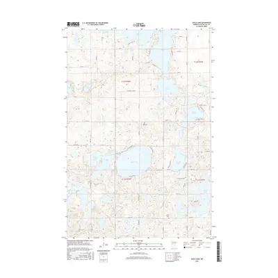
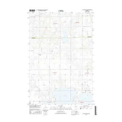
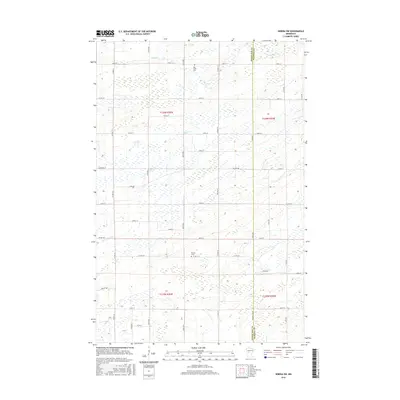
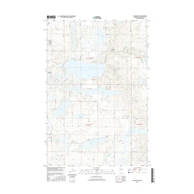
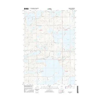
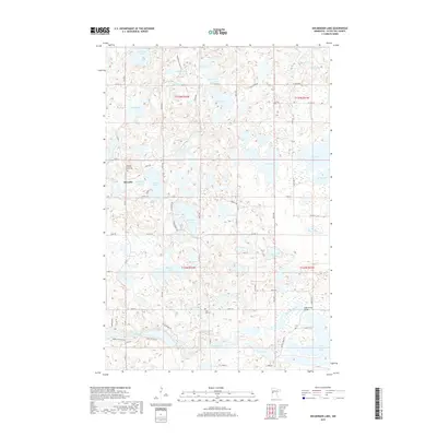
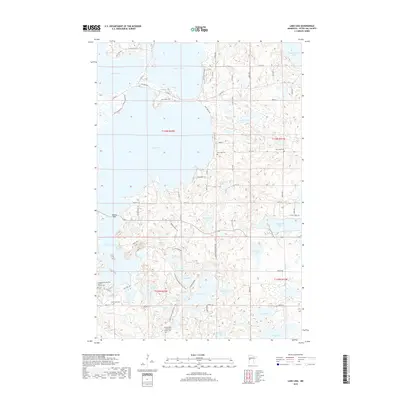
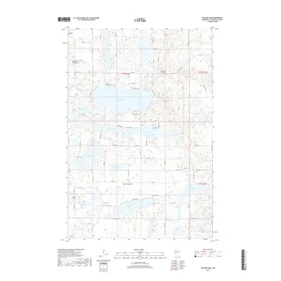
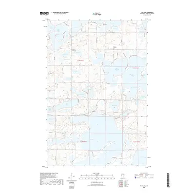
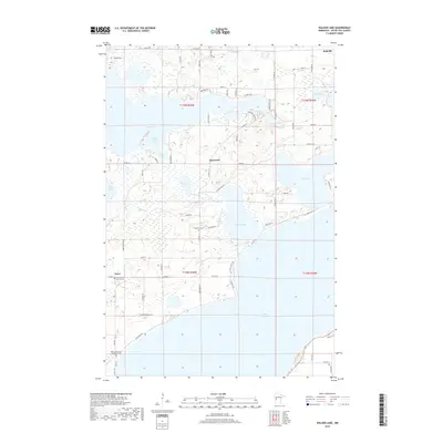
Historical Maps of Lake Eunice Through Time
162 maps found
1966 Carlisle
Otter Tail County, MN
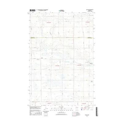
1969 Butler
Otter Tail County, MN
1969 Eagle Bend NW
Otter Tail County, MN
1969 Eagle Lake
Otter Tail County, MN
1969 Heinola
Otter Tail County, MN
1969 Henning SE
Otter Tail County, MN
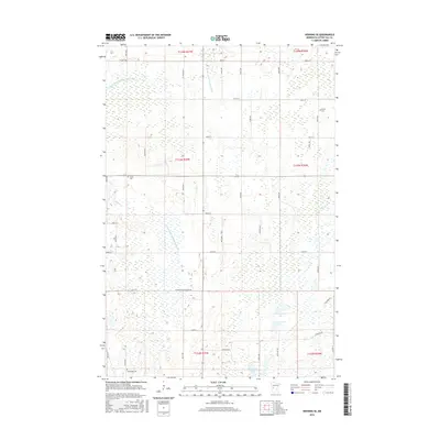
1969 Inspiration Peak
Otter Tail County, MN
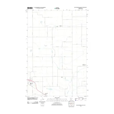
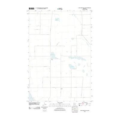
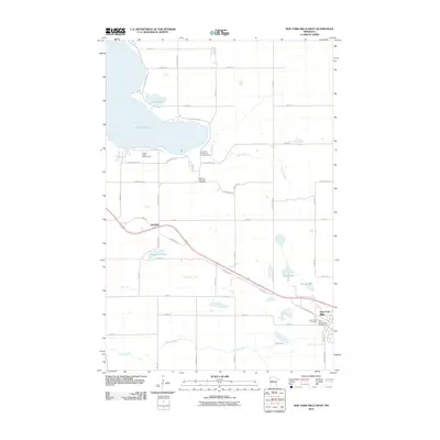
1969 New York Mills East
Otter Tail County, MN
1969 New York Mills NW
Otter Tail County, MN
1969 New York Mills West
Otter Tail County, MN
1969 Parkers Prairie NW
Otter Tail County, MN
1969 Sebeka NW
Otter Tail County, MN
1969 Sebeka SW
Otter Tail County, MN

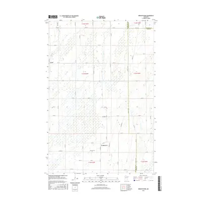
1969 Wrightstown
Otter Tail County, MN
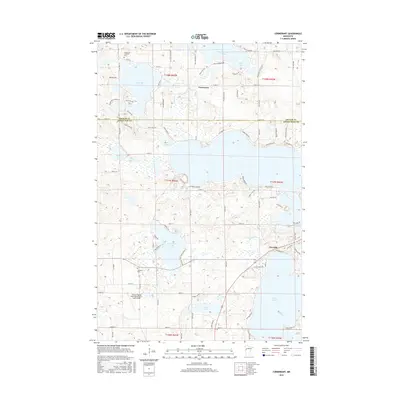
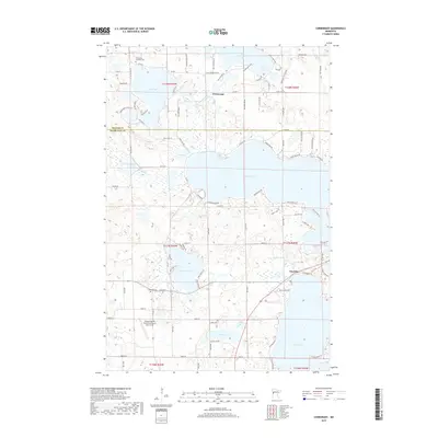
1973 Cormorant
Otter Tail County, MN

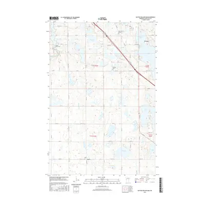
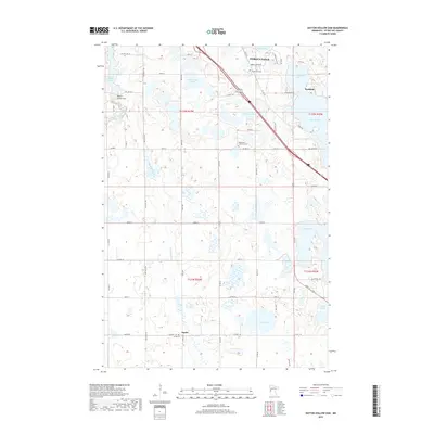
1973 Dayton Hollow Dam
Otter Tail County, MN
1973 Heilberger Lake
Otter Tail County, MN
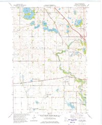
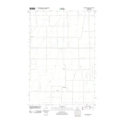
1973 Lake Franklin
Otter Tail County, MN
1973 Lake Lida
Otter Tail County, MN
1973 Lake Olaf
Otter Tail County, MN
1973 Little Pine Lake
Otter Tail County, MN
1973 Orwell Lake
Otter Tail County, MN
1973 Phelps
Otter Tail County, MN
1973 Stalker Lake
Otter Tail County, MN
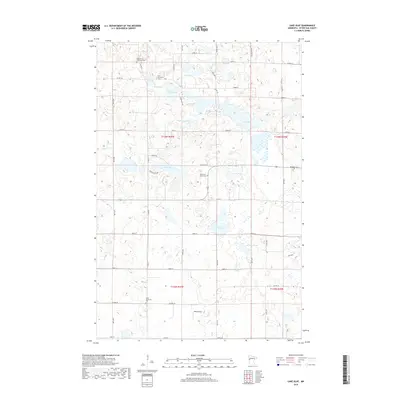
1973 Star Lake
Otter Tail County, MN
1973 Walker Lake
Otter Tail County, MN
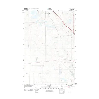
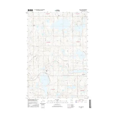
1973 Wall Lake
Otter Tail County, MN
2010 Butler
Otter Tail County, MN
2010 Carlisle
Otter Tail County, MN
2010 Cormorant
Otter Tail County, MN
2010 Dayton Hollow Dam
Otter Tail County, MN
2010 Eagle Bend NW
Otter Tail County, MN
2010 Eagle Lake
Otter Tail County, MN
2010 Heilberger Lake
Otter Tail County, MN
2010 Heinola
Otter Tail County, MN
2010 Henning SE
Otter Tail County, MN
2010 Inspiration Peak
Otter Tail County, MN
2010 Lake Franklin
Otter Tail County, MN
2010 Lake Lida
Otter Tail County, MN
2010 Lake Olaf
Otter Tail County, MN
2010 Little Pine Lake
Otter Tail County, MN
2010 New York Mills East
Otter Tail County, MN
2010 New York Mills NW
Otter Tail County, MN
2010 New York Mills West
Otter Tail County, MN
2010 Orwell Lake
Otter Tail County, MN
2010 Parkers Prairie NW
Otter Tail County, MN
2010 Phelps
Otter Tail County, MN
2010 Sebeka NW
Otter Tail County, MN
2010 Sebeka SW
Otter Tail County, MN
2010 Stalker Lake
Otter Tail County, MN
2010 Star Lake
Otter Tail County, MN
2010 Walker Lake
Otter Tail County, MN
2010 Wall Lake
Otter Tail County, MN
2010 Wrightstown
Otter Tail County, MN
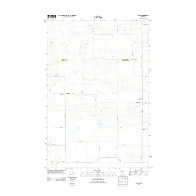
2013 Butler
Otter Tail County, MN
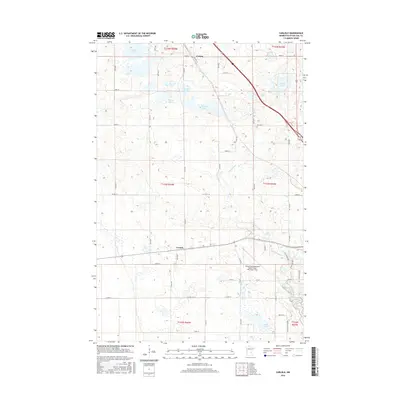
2013 Carlisle
Otter Tail County, MN
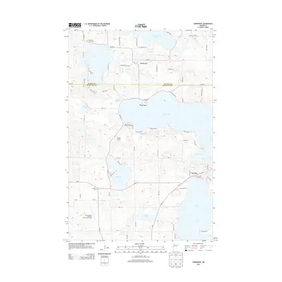
2013 Cormorant
Otter Tail County, MN
2013 Dayton Hollow Dam
Otter Tail County, MN
2013 Eagle Bend NW
Otter Tail County, MN
2013 Eagle Lake
Otter Tail County, MN
2013 Heilberger Lake
Otter Tail County, MN
2013 Heinola
Otter Tail County, MN
2013 Henning SE
Otter Tail County, MN
2013 Inspiration Peak
Otter Tail County, MN
2013 Lake Franklin
Otter Tail County, MN
2013 Lake Lida
Otter Tail County, MN
2013 Lake Olaf
Otter Tail County, MN
2013 Little Pine Lake
Otter Tail County, MN
2013 New York Mills East
Otter Tail County, MN
2013 New York Mills NW
Otter Tail County, MN
2013 New York Mills West
Otter Tail County, MN
2013 Orwell Lake
Otter Tail County, MN
2013 Parkers Prairie NW
Otter Tail County, MN
2013 Phelps
Otter Tail County, MN
2013 Sebeka NW
Otter Tail County, MN
2013 Sebeka SW
Otter Tail County, MN
2013 Stalker Lake
Otter Tail County, MN
2013 Star Lake
Otter Tail County, MN
2013 Walker Lake
Otter Tail County, MN
2013 Wall Lake
Otter Tail County, MN
2013 Wrightstown
Otter Tail County, MN
2016 Butler
Otter Tail County, MN
2016 Carlisle
Otter Tail County, MN
2016 Cormorant
Otter Tail County, MN
2016 Dayton Hollow Dam
Otter Tail County, MN
2016 Eagle Bend NW
Otter Tail County, MN
2016 Eagle Lake
Otter Tail County, MN
2016 Heilberger Lake
Otter Tail County, MN
2016 Heinola
Otter Tail County, MN
2016 Henning SE
Otter Tail County, MN
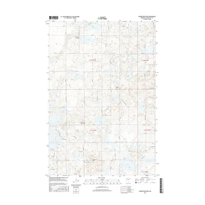
2016 Inspiration Peak
Otter Tail County, MN
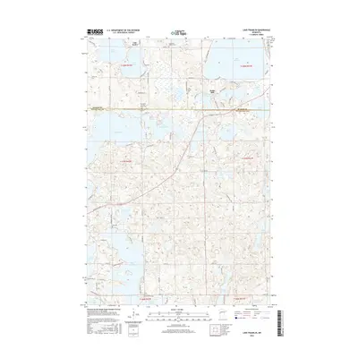
2016 Lake Franklin
Otter Tail County, MN
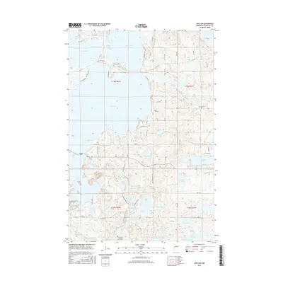
2016 Lake Lida
Otter Tail County, MN
2016 Lake Olaf
Otter Tail County, MN
2016 Little Pine Lake
Otter Tail County, MN
2016 New York Mills East
Otter Tail County, MN
2016 New York Mills NW
Otter Tail County, MN
2016 New York Mills West
Otter Tail County, MN
2016 Orwell Lake
Otter Tail County, MN
2016 Parkers Prairie NW
Otter Tail County, MN
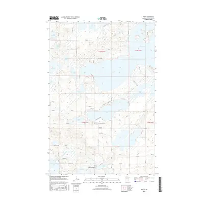
2016 Phelps
Otter Tail County, MN
2016 Sebeka NW
Otter Tail County, MN
2016 Sebeka SW
Otter Tail County, MN
2016 Stalker Lake
Otter Tail County, MN
2016 Star Lake
Otter Tail County, MN
2016 Walker Lake
Otter Tail County, MN
2016 Wall Lake
Otter Tail County, MN
2016 Wrightstown
Otter Tail County, MN
2019 Butler
Otter Tail County, MN
2019 Carlisle
Otter Tail County, MN
2019 Cormorant
Otter Tail County, MN
2019 Dayton Hollow Dam
Otter Tail County, MN
2019 Eagle Bend NW
Otter Tail County, MN
2019 Eagle Lake
Otter Tail County, MN
2019 Heilberger Lake
Otter Tail County, MN
2019 Heinola
Otter Tail County, MN
2019 Henning SE
Otter Tail County, MN
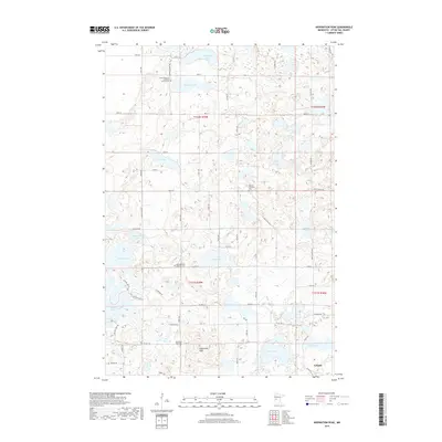
2019 Inspiration Peak
Otter Tail County, MN
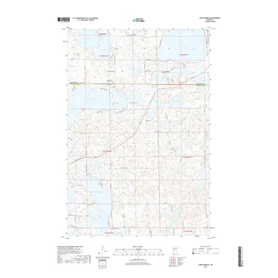
2019 Lake Franklin
Otter Tail County, MN
2019 Lake Lida
Otter Tail County, MN
2019 Lake Olaf
Otter Tail County, MN
2019 Little Pine Lake
Otter Tail County, MN
2019 New York Mills East
Otter Tail County, MN
2019 New York Mills NW
Otter Tail County, MN
2019 New York Mills West
Otter Tail County, MN
2019 Orwell Lake
Otter Tail County, MN
2019 Parkers Prairie NW
Otter Tail County, MN
2019 Phelps
Otter Tail County, MN
2019 Sebeka NW
Otter Tail County, MN
2019 Sebeka SW
Otter Tail County, MN
2019 Stalker Lake
Otter Tail County, MN
2019 Star Lake
Otter Tail County, MN
2019 Walker Lake
Otter Tail County, MN
2019 Wall Lake
Otter Tail County, MN
2019 Wrightstown
Otter Tail County, MN
2022 Butler
Otter Tail County, MN
2022 Carlisle
Otter Tail County, MN
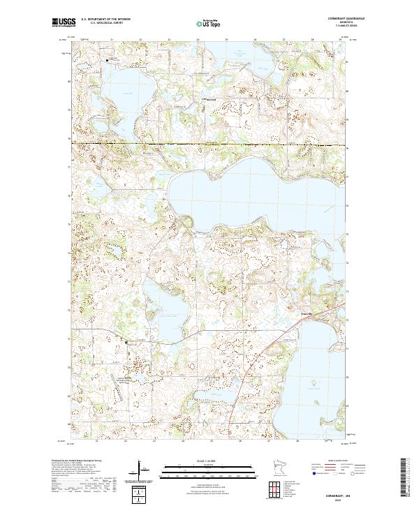
2022 Cormorant
Otter Tail County, MN
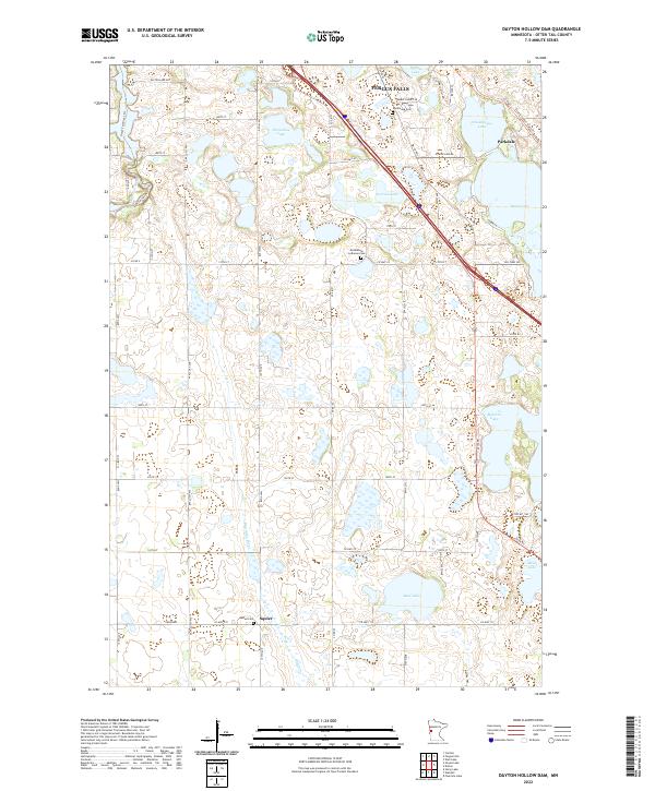
2022 Dayton Hollow Dam
Otter Tail County, MN
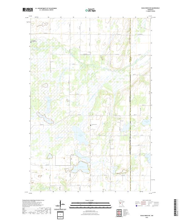
2022 Eagle Bend NW
Otter Tail County, MN
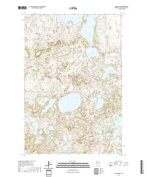
2022 Eagle Lake
Otter Tail County, MN
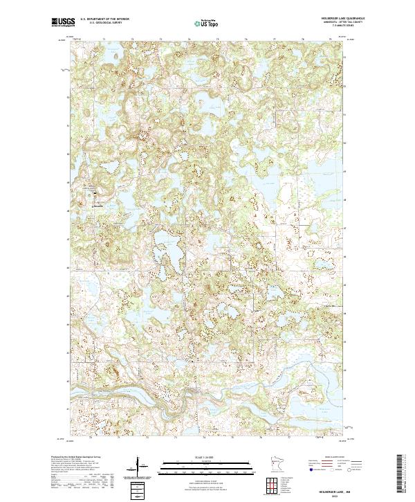
2022 Heilberger Lake
Otter Tail County, MN
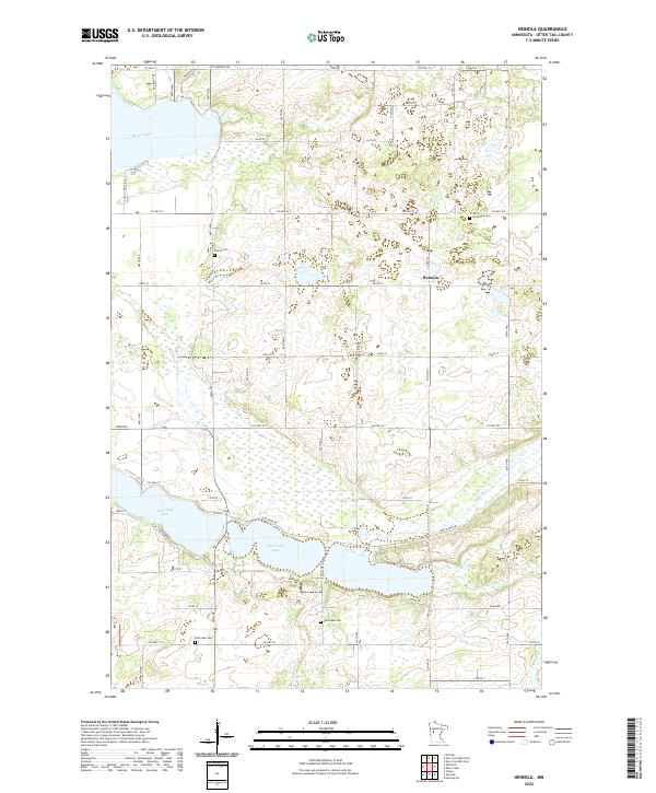
2022 Heinola
Otter Tail County, MN
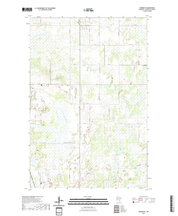
2022 Henning SE
Otter Tail County, MN
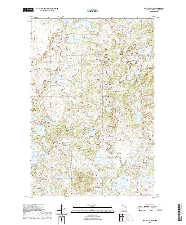
2022 Inspiration Peak
Otter Tail County, MN
2022 Lake Franklin
Otter Tail County, MN
2022 Lake Lida
Otter Tail County, MN
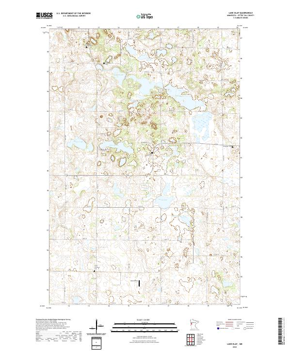
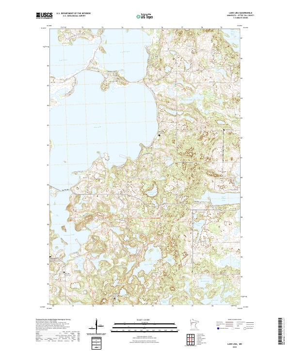
2022 Lake Olaf
Otter Tail County, MN
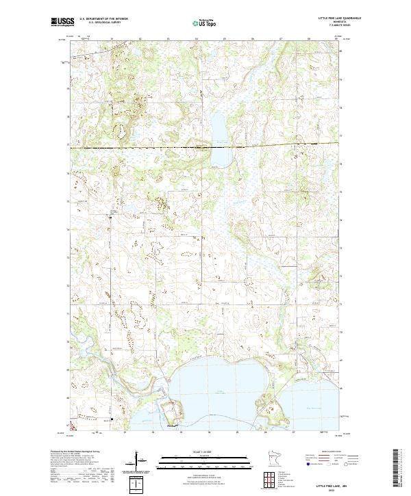
2022 Little Pine Lake
Otter Tail County, MN
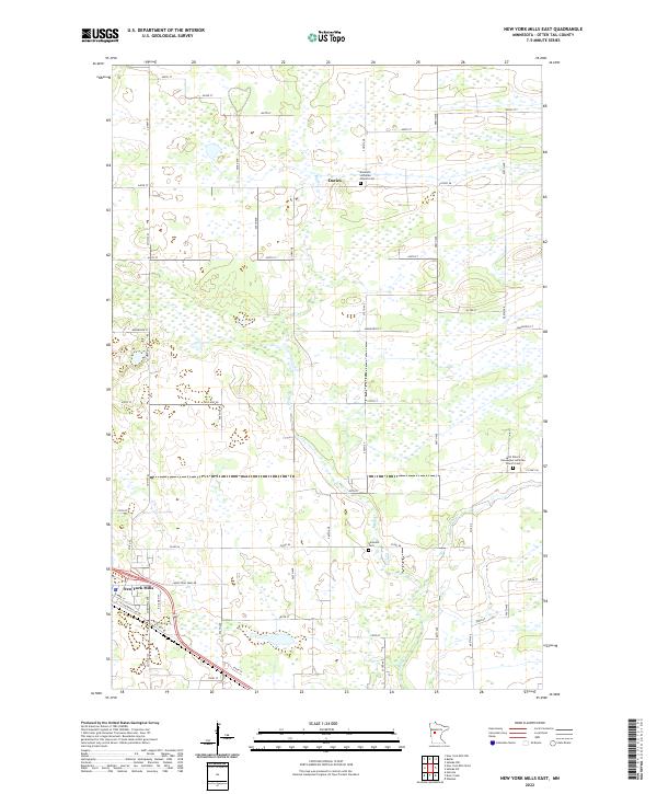
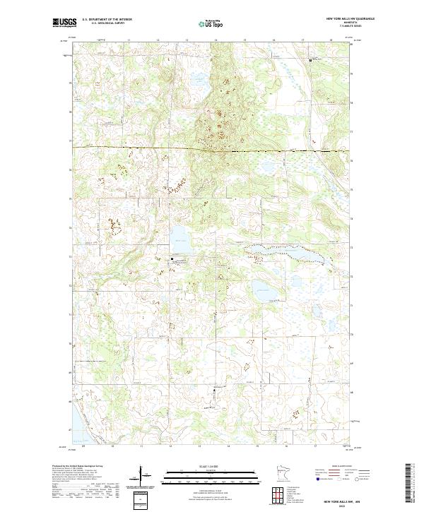
2022 New York Mills East
Otter Tail County, MN
2022 New York Mills NW
Otter Tail County, MN
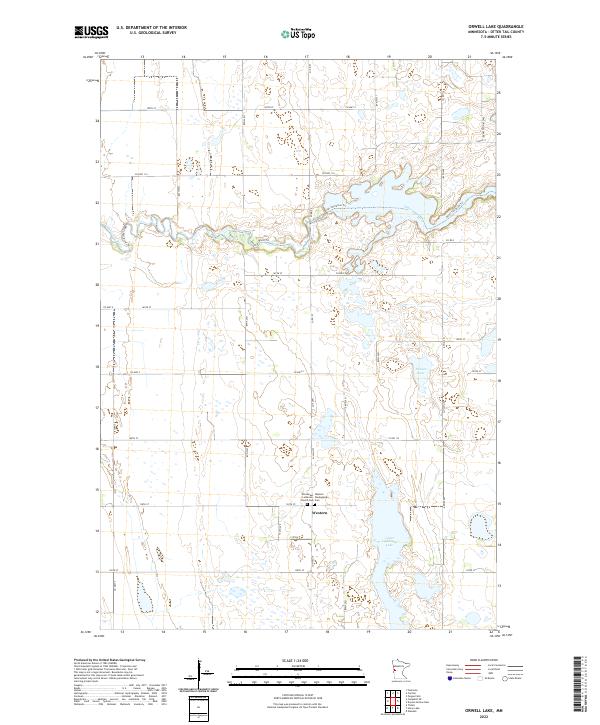
2022 Orwell Lake
Otter Tail County, MN
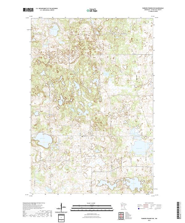
2022 Parkers Prairie NW
Otter Tail County, MN
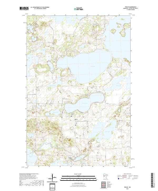
2022 Phelps
Otter Tail County, MN
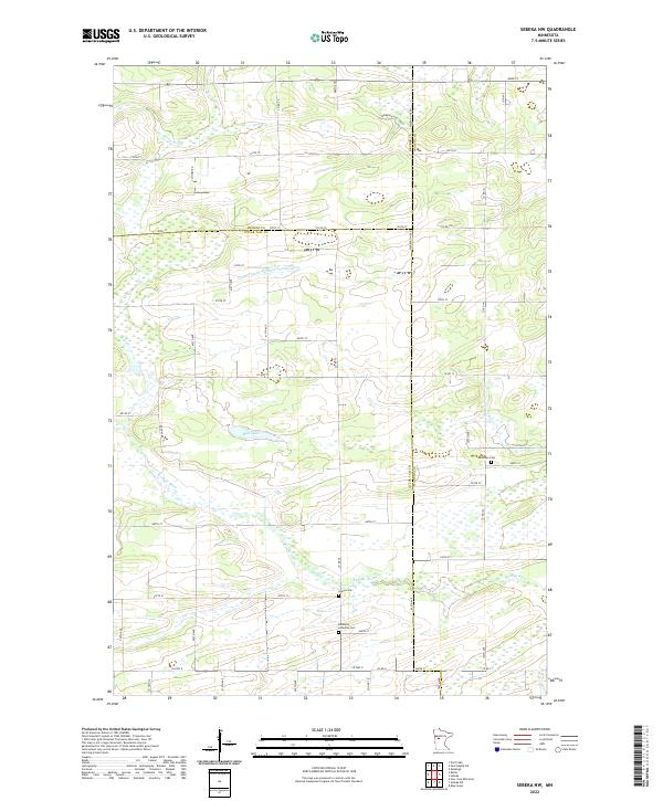
2022 Sebeka NW
Otter Tail County, MN
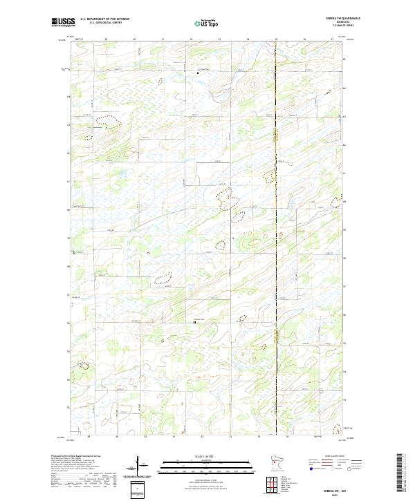
2022 Sebeka SW
Otter Tail County, MN
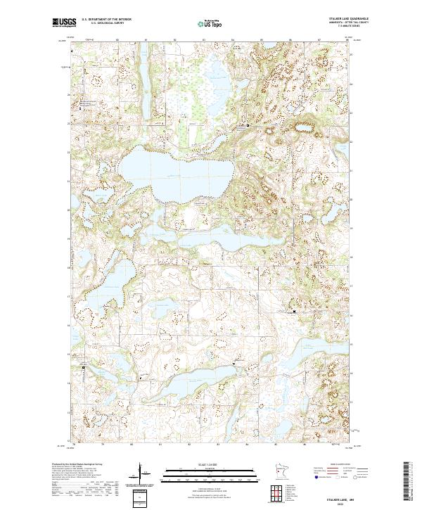
2022 Stalker Lake
Otter Tail County, MN
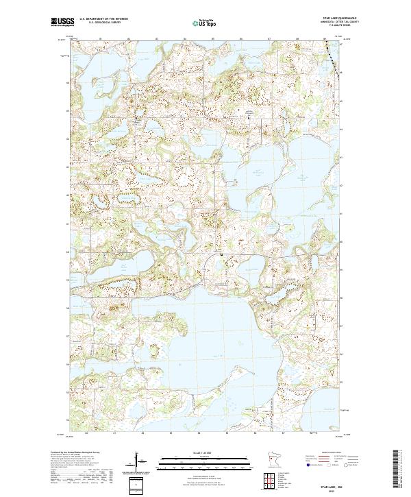
2022 Star Lake
Otter Tail County, MN
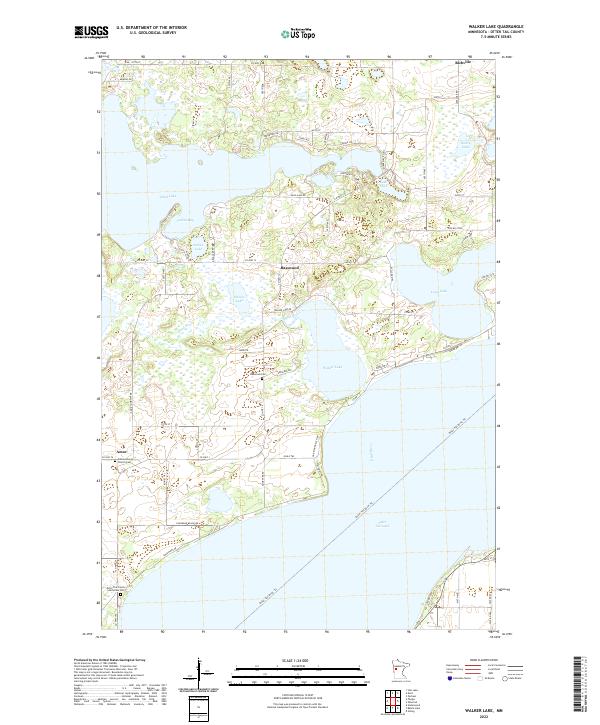
2022 Walker Lake
Otter Tail County, MN
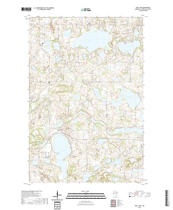
2022 Wall Lake
Otter Tail County, MN
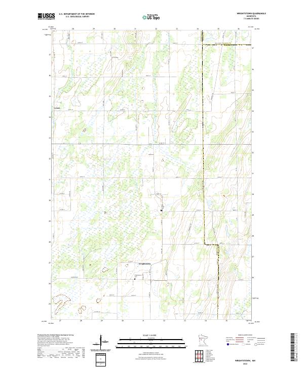
2022 Wrightstown
Otter Tail County, MN
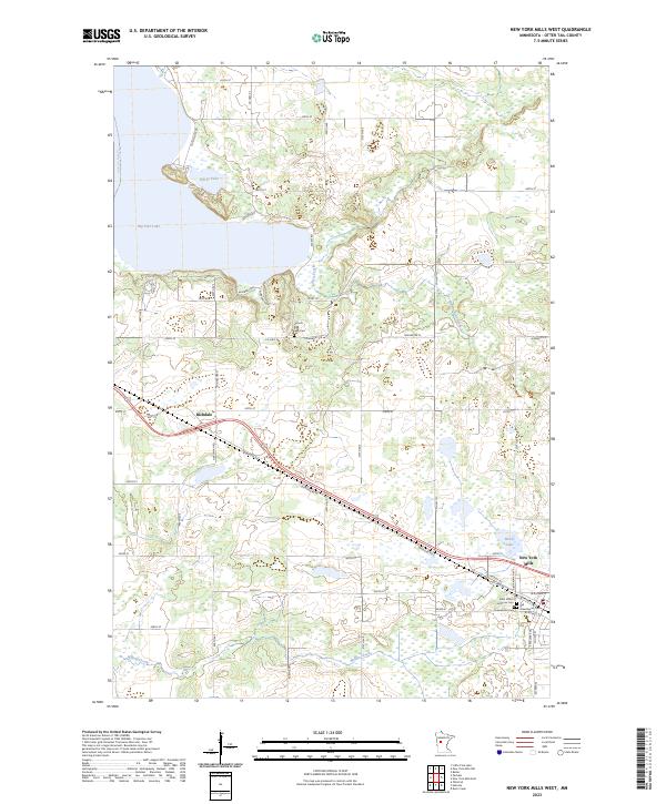
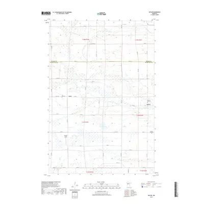
2023 New York Mills West
Otter Tail County, MN