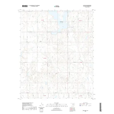
2018 Map of Lake Fuqua
USGS Topo · Published 2018About this map
Lake Fuqua dominates the northern landscape of this Stephens County region, serving as a primary water source and landmark near Duncan. The surrounding terrain is defined by the drainage networks of Black Bear Cr and Wildhorse Cr, which carve through the Oklahoma plains. For those researching local heritage, the Owens Prairie Cem stands as a significant point of historical interest, situated west of the reservoir. The map reveals a highly structured grid of section roads, including Baseline Rd and Hope Territory Rd, which delineate the rural allotments and agricultural properties. This transportation network, coupled with smaller tributaries like Queens Cr, illustrates the long-standing relationship between the region's topography and its 21st-century infrastructure.
Find a feature on this map
35 named features on this map. Tap any name to fly to it.
Don’t see what you’re looking for? This feature index may not catch every label — zoom into the map to look around manually.
Map Details
Editions of this 2018 Lake Fuqua Map
This is the sole edition of this map. No revisions or reprints were ever made.
Other maps of this area

1901 · Addington
USGS Topo · 1:125,000

1902 · Rush Springs
USGS Topo · 1:125,000

1950 · Marlow
USGS Topo · 1:62,500

1951 · Marlow
USGS Topo · 1:62,500

1957 · Ardmore
USGS Topo · 1:250,000

1963 · Ardmore
USGS Topo · 1:250,000

1963 · Harrisburg
USGS Topo · 1:24,000
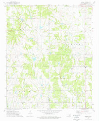
1974 · Pernell
USGS Topo · 1:24,000
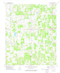
1974 · Ratliff City
USGS Topo · 1:24,000
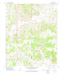
1974 · Purdy
USGS Topo · 1:24,000