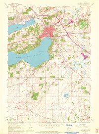
1960 Map of Lake Geneva
USGS Topo · Published 1972About this map
The northern shores of Lake Geneva and the surrounding resort landscapes of Walworth County appear here in a mix of 1960s field data and early 1970s aerial updates. The city of Lake Geneva is a dense hub of activity, featuring the Badger High Sch and multiple historic burial grounds like Pioneer Cem and Oak Hill Cemetery. To the south, the landscape shifts into the rural townships of Linn and Bloomfield, where schoolhouses like Locust Grove Sch and Traver Sch serve the farming community.
Find a feature on this map
43 named features on this map. Tap any name to fly to it.
Don’t see what you’re looking for? This feature index may not catch every label — zoom into the map to look around manually.
Map Details
Editions of this 1960 Lake Geneva Map
3 editions found
Other maps of this area

1893 · Delavan
USGS Topo · 1:62,500

1893 · Geneva
USGS Topo · 1:62,500

1904 · Lake Geneva
USGS Topo · 1:62,500

1906 · Lake Geneva
USGS Topo · 1:62,500

1926 · Mc Henry
USGS Topo · 1:62,500

1932 · Harvard
USGS Topo · 1:48,000

1937 · Harvard
USGS Topo · 1:62,500

1944 · McHenry
USGS Topo · 1:62,500

1954 · Rockford
USGS Topo · 1:250,000

1955 · Rockford
USGS Topo · 1:250,000