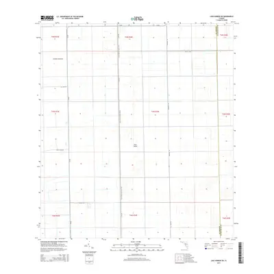
2015 Map of Lake Harbor SW
USGS Topo · Published 2015About this map
Tonys Mound and Cowbone Hammock rise as distinctive landmarks within this vast agricultural and water-management landscape on the border of Hendry and Palm Beach counties. In 2015, the region is defined by an extensive grid of irrigation and drainage infrastructure, most notably the Bolles Canal running along the northern edge. This area represents the engineering of the northern Everglades for large-scale agriculture, where the land is strictly partitioned into township and range sections. Human passage through this specialized environment is facilitated by the Florida National Scenic Trail, which follows the north-south corridor of L1 Dike Rd. A network of utility roads like Hill Grade Rd, Dooley Grade Rd, and Etumakee Way provides access to the interior fields, while Cr-835 and Blumberg Rd serve as the primary north-south arteries for the region's transport.
Find a feature on this map
20 named features on this map. Tap any name to fly to it.
Don’t see what you’re looking for? This feature index may not catch every label — zoom into the map to look around manually.
Map Details
Editions of this 2015 Lake Harbor SW Map
This is the sole edition of this map. No revisions or reprints were ever made.
Other maps of this area

1956 · West Palm Beach
USGS Topo · 1:250,000

1957 · West Palm Beach
USGS Topo · 1:250,000

1958 · West Palm Beach
USGS Topo · 1:250,000

1970 · Lake Harbor
USGS Topo · 1:24,000

1970 · Lake Harbor SE
USGS Topo · 1:24,000

1970 · Lake Harbor SW
USGS Topo · 1:24,000

1970 · Clewiston South
USGS Topo · 1:24,000

1970 · La Belle 4 SE
USGS Topo · 1:24,000

1970 · La Belle 4 NE
USGS Topo · 1:24,000

1974 · Immokalee 1 NE
USGS Topo · 1:24,000