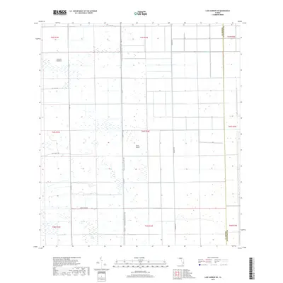
2018 Map of Lake Harbor SW
USGS Topo · Published 2018About this map
Bolles Canal cuts across the northern landscape of this Palm Beach County region, marking the managed water systems characteristic of the Florida Everglades' edge. The terrain is defined by a transition between agricultural land and natural wetlands, with the Florida National Scenic Trail running north-to-south along L 1 Rd. Local landforms such as Tonys Mound and Cowbone Hammock provide subtle elevation and ecological diversity amidst the low-lying reaches of Little Cypress Swamp.
Find a feature on this map
23 named features on this map. Tap any name to fly to it.
Don’t see what you’re looking for? This feature index may not catch every label — zoom into the map to look around manually.
Map Details
Editions of this 2018 Lake Harbor SW Map
This is the sole edition of this map. No revisions or reprints were ever made.
Other maps of this area

1956 · West Palm Beach
USGS Topo · 1:250,000

1957 · West Palm Beach
USGS Topo · 1:250,000

1958 · West Palm Beach
USGS Topo · 1:250,000

1970 · Lake Harbor
USGS Topo · 1:24,000

1970 · Lake Harbor SE
USGS Topo · 1:24,000

1970 · Lake Harbor SW
USGS Topo · 1:24,000

1970 · Clewiston South
USGS Topo · 1:24,000

1970 · La Belle 4 SE
USGS Topo · 1:24,000

1970 · La Belle 4 NE
USGS Topo · 1:24,000

1974 · Immokalee 1 NE
USGS Topo · 1:24,000