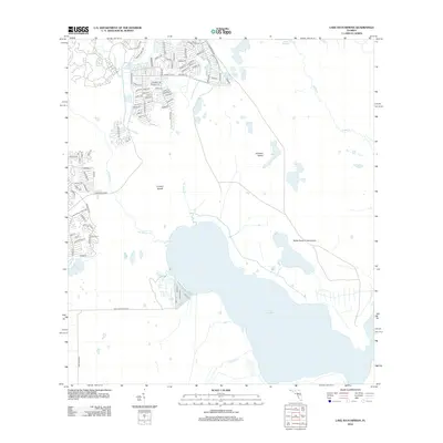
2012 Map of Lake Hatchineha
USGS Topo · Published 2012About this map
Lake Hatchineha and its surrounding wetlands anchor this central Florida landscape, revealing a complex network of waterways that define the region's hydrology. The map details the winding courses of Lake Marion Creek, Reedy Creek, and Catfish Creek as they feed into the larger lake system. This aquatic environment is interspersed with terrestrial features like London Island and Johnson Island, which rise above the surrounding marshlands.
Find a feature on this map
95 named features on this map. Tap any name to fly to it.
Don’t see what you’re looking for? This feature index may not catch every label — zoom into the map to look around manually.
Map Details
Editions of this 2012 Lake Hatchineha Map
This is the sole edition of this map. No revisions or reprints were ever made.
Other maps of this area

1952 · Lake Wales
USGS Topo · 1:24,000

1952 · Lake Weohyakapka NE
USGS Topo · 1:24,000

1952 · Hesperides
USGS Topo · 1:24,000

1953 · Cypress Lake
USGS Topo · 1:24,000

1953 · Dundee
USGS Topo · 1:24,000

1953 · Lake Hatchineha
USGS Topo · 1:24,000

1953 · St Cloud South
USGS Topo · 1:24,000

1953 · Lake Tohopekaliga
USGS Topo · 1:24,000

1953 · Davenport
USGS Topo · 1:24,000

1955 · Orlando
USGS Topo · 1:250,000