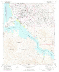
1970 Map of Lake Havasu City South
USGS Topo · Published 1978About this map
Lake Havasu defines the center of this 1970s landscape, where the rising shoreline of the Colorado River meets the burgeoning development of Lake Havasu City. This particular edition is notable for capturing the city's early expansion, featuring the newly relocated London Bridge and its adjacent Shopping Center and Industrial zones. The map illustrates a transitional era where planned street grids like Beach Comber Boulevard press against the undeveloped desert washes such as El Dorado Wash and Kiowa Wash.
Find a feature on this map
40 named features on this map. Tap any name to fly to it.
Don’t see what you’re looking for? This feature index may not catch every label — zoom into the map to look around manually.
Map Details
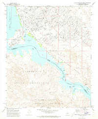
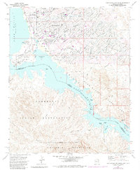
Editions of this 1970 Lake Havasu City South Map
3 editions found
Other maps of this area

1903 · Needles
USGS Topo · 1:125,000

1904 · Needles Special
USGS Topo · 1:125,000

1911 · Parker
USGS Topo · 1:125,000

1927 · Buck Mountains
USGS Topo · 1:62,500

1929 · Buck Mountains
USGS Topo · 1:62,500

1943 · Giers Basin
USGS Topo · 1:62,500

1943 · Topock
USGS Topo · 1:62,500

1943 · Whipple Mts.
USGS Topo · 1:62,500

1950 · Parker Dam Area
USGS Topo · 1:62,500

1950 · Topock
USGS Topo · 1:62,500