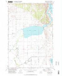
1972 Map of Lake Helena
USGS Topo · Published 1975About this map
Lake Helena sits at the center of this Montana landscape, where the confluence of Tenmile Creek, Silver Creek, and Prickly Pear Creek forms a broad riparian basin. The early 1970s marked a period of significant water management in the valley, evidenced by the extensive Helena Valley Canal and the Helena Valley Regulating Reservoir near the Missouri River. These irrigation systems supported a growing rural community, linking the agricultural flats with the northern reaches of the Helena National Forest.
Find a feature on this map
33 named features on this map. Tap any name to fly to it.
Don’t see what you’re looking for? This feature index may not catch every label — zoom into the map to look around manually.
Map Details
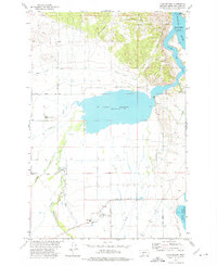
Editions of this 1972 Lake Helena Map
2 editions found
Other maps of this area

1886 · Fort Logan
USGS Topo · 1:250,000

1889 · Helena
USGS Topo · 1:250,000

1893 · Helena
USGS Topo · 1:250,000

1899 · Helena
USGS Topo · 1:62,500

1899 · Helena
USGS Topo · 1:250,000

1903 · Helena
USGS Topo · 1:250,000

1947 · Butte
USGS Topo · 1:250,000

1948 · White Sulphur Springs
USGS Topo · 1:250,000

1950 · East Helena
USGS Topo · 1:62,500

1950 · Helena
USGS Topo · 1:62,500