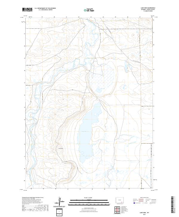
2021 Map of Lake Ione
USGS Topo · Published 2021About this map
Old Fort Fetterman Rd traces a historic path across the high plains of Albany County, marking a landscape defined by an intricate system of water management. The Laramie River meanders through the western half of the quadrangle, serving as the primary source for the extensive irrigation infrastructure that supports the region. Notable man-made features like the Ione Ditch, Boughton Canal, and Dunn and Gillespie Ditch demonstrate the engineering required to sustain this arid environment.
Find a feature on this map
20 named features on this map. Tap any name to fly to it.
Don’t see what you’re looking for? This feature index may not catch every label — zoom into the map to look around manually.
Map Details
Editions of this 2021 Lake Ione Map
This is the sole edition of this map. No revisions or reprints were ever made.
Other maps of this area

1954 · Cheyenne
USGS Topo · 1:250,000

1955 · Bosler
USGS Topo · 1:24,000

1955 · Bosler SE
USGS Topo · 1:24,000

1955 · Mc Gill Lakes
USGS Topo · 1:24,000

1955 · Bluegrass Wells
USGS Topo · 1:24,000

1955 · Cooper Lake South
USGS Topo · 1:24,000

1955 · Sybille Springs
USGS Topo · 1:24,000

1955 · Cooper Lake North
USGS Topo · 1:24,000

1955 · Lake Ione
USGS Topo · 1:24,000

1955 · Cannonball Cut
USGS Topo · 1:24,000