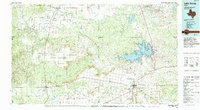
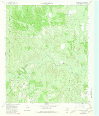
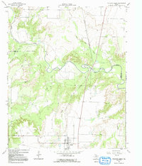
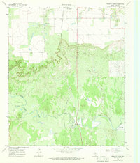
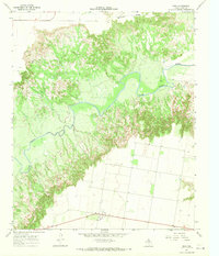
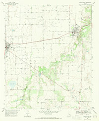
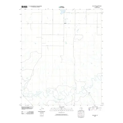
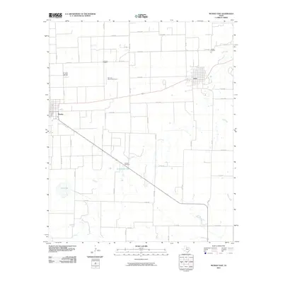
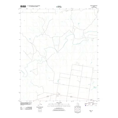
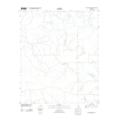
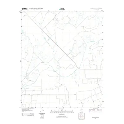
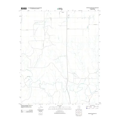
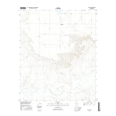
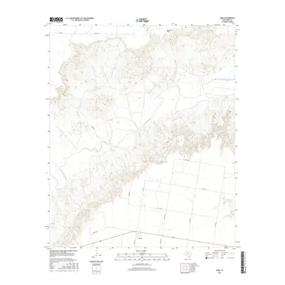
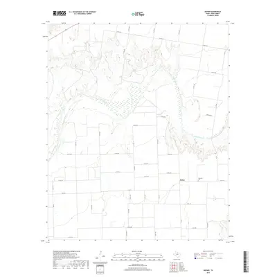
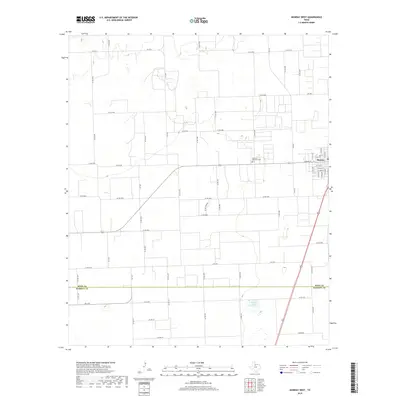
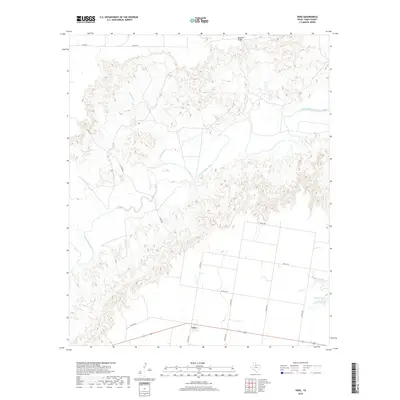
1985 Map of Lake Kemp
USGS Topo · Published 1994About this map
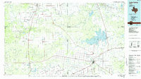
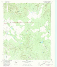
Lake Kemp dominates the eastern landscape of this North Texas region, where the Wichita River system meets the plains. Collected from surveys spanning the mid-1960s to early 1980s, the map illustrates a landscape of agricultural settlements and cattle-named landmarks like Cattle Island and Cattle Creek. The area's transit history is visible in the operation of the Burlington Northern line and the vestigial path of an Old Railroad Grade north of the river. Small ranching and farming communities including Benjamin, Crowell, and Seymour serve as local hubs, while smaller locales like Rhineland and Thalia provide points of interest for genealogists tracing family ties to the Red River Valley hinterlands. The terrain transitions from the broken ground of Ignorant Ridge and Dixie Mound to the wide riparian corridors of the Brazos River and South Wichita River.
Find a feature on this map
64 named features on this map. Tap any name to fly to it.
Don’t see what you’re looking for? This feature index may not catch every label — zoom into the map to look around manually.
Map Details
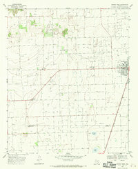
Editions of this 1985 Lake Kemp Map
2 editions found
Historical Maps of Seymour Through Time
73 maps found
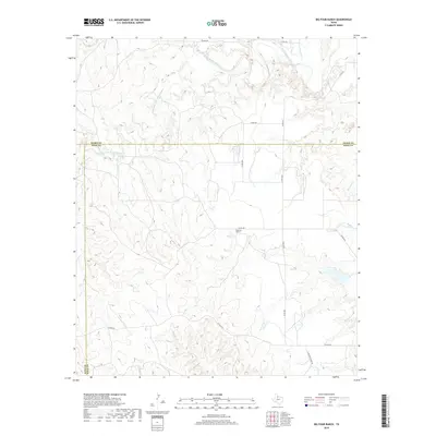
1966 Big Four Ranch
Knox County, TX
1966 Gilliland
Knox County, TX
1966 Maverick Flat
Knox County, TX
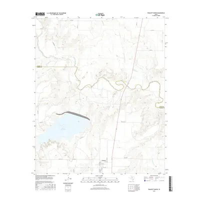
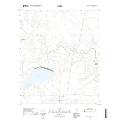
1966 Truscott North
Knox County, TX
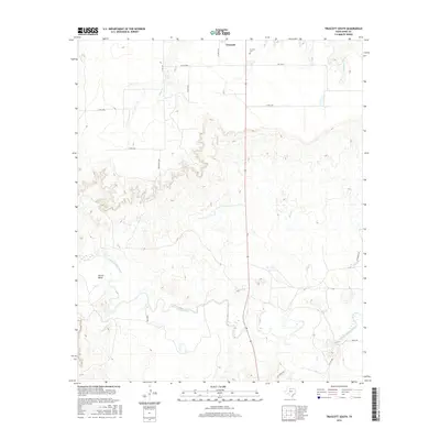
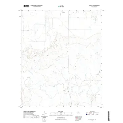
1966 Truscott South
Knox County, TX
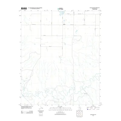
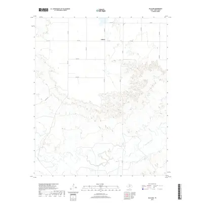
1966 Vera
Knox County, TX
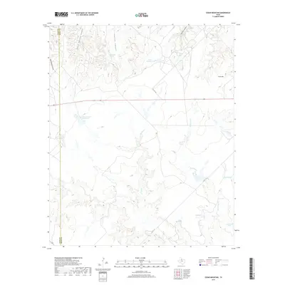
1967 Cedar Mountain
Knox County, TX
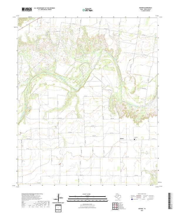
1967 Hefner
Knox County, TX
1967 Knox City NW
Knox County, TX
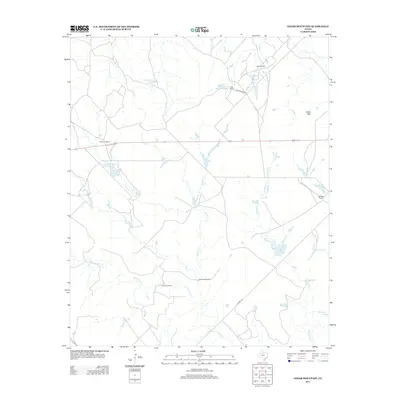
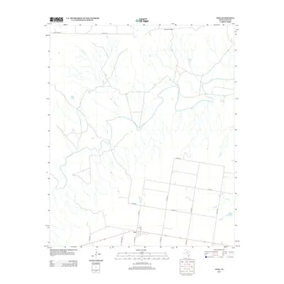
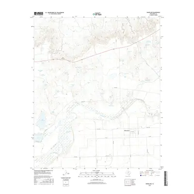
1967 Rhineland
Knox County, TX
1968 Munday East
Knox County, TX
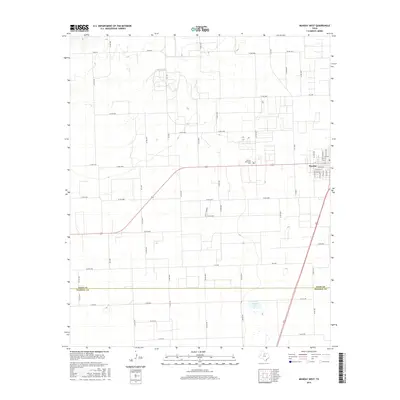
1968 Munday West
Knox County, TX
1985 Lake Kemp
Knox County, TX
2010 Big Four Ranch
Knox County, TX
2010 Cedar Mountain
Knox County, TX
2010 Gilliland
Knox County, TX
2010 Hefner
Knox County, TX
2010 Knox City NW
Knox County, TX
2010 Maverick Flat
Knox County, TX
2010 Munday East
Knox County, TX
2010 Munday West
Knox County, TX
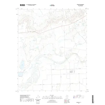
2010 Rhineland
Knox County, TX
2010 Truscott South
Knox County, TX
2010 Vera
Knox County, TX
2011 Truscott North
Knox County, TX
2012 Maverick Flat
Knox County, TX
2012 Munday East
Knox County, TX
2013 Big Four Ranch
Knox County, TX
2013 Cedar Mountain
Knox County, TX
2013 Gilliland
Knox County, TX
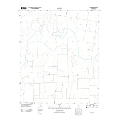
2013 Hefner
Knox County, TX
2013 Knox City NW
Knox County, TX
2013 Munday West
Knox County, TX
2013 Rhineland
Knox County, TX
2013 Truscott North
Knox County, TX
2013 Truscott South
Knox County, TX
2013 Vera
Knox County, TX
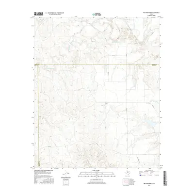
2016 Big Four Ranch
Knox County, TX
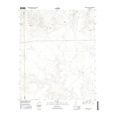
2016 Cedar Mountain
Knox County, TX
2016 Gilliland
Knox County, TX
2016 Hefner
Knox County, TX
2016 Knox City NW
Knox County, TX

2016 Maverick Flat
Knox County, TX
2016 Munday East
Knox County, TX
2016 Munday West
Knox County, TX
2016 Rhineland
Knox County, TX
2016 Truscott North
Knox County, TX
2016 Truscott South
Knox County, TX
2016 Vera
Knox County, TX
2019 Big Four Ranch
Knox County, TX
2019 Cedar Mountain
Knox County, TX
2019 Gilliland
Knox County, TX
2019 Hefner
Knox County, TX
2019 Knox City NW
Knox County, TX
2019 Maverick Flat
Knox County, TX
2019 Munday East
Knox County, TX
2019 Munday West
Knox County, TX
2019 Rhineland
Knox County, TX
2019 Truscott North
Knox County, TX
2019 Truscott South
Knox County, TX
2019 Vera
Knox County, TX
2022 Big Four Ranch
Knox County, TX
2022 Cedar Mountain
Knox County, TX
2022 Gilliland
Knox County, TX
2022 Hefner
Knox County, TX
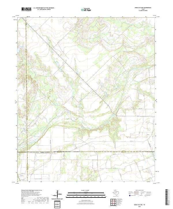
2022 Knox City NW
Knox County, TX
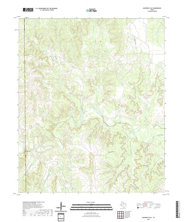
2022 Maverick Flat
Knox County, TX
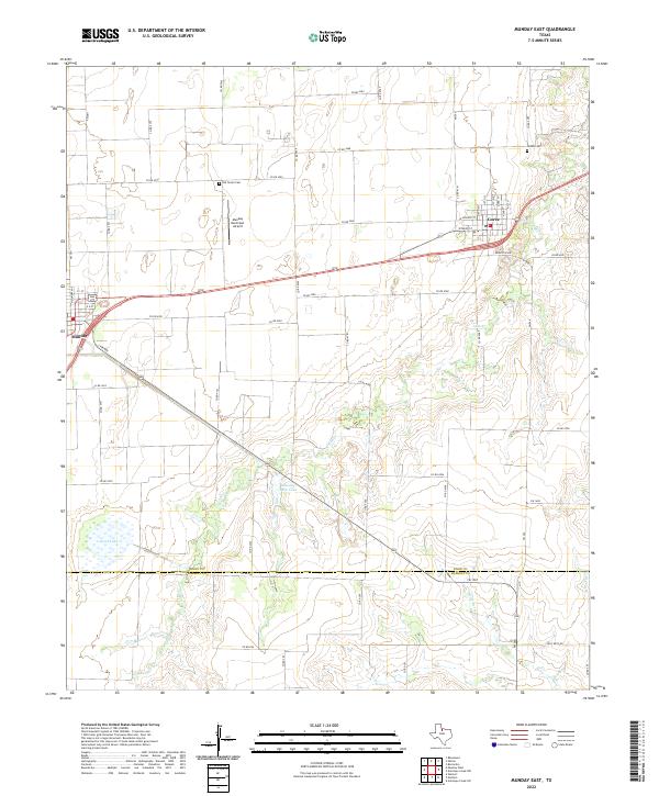
2022 Munday East
Knox County, TX

2022 Munday West
Knox County, TX
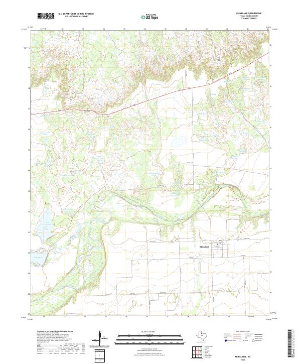
2022 Rhineland
Knox County, TX
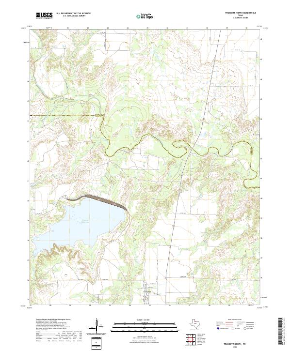
2022 Truscott North
Knox County, TX
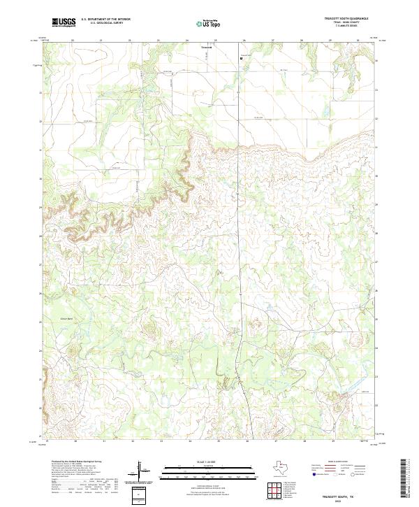
2022 Truscott South
Knox County, TX
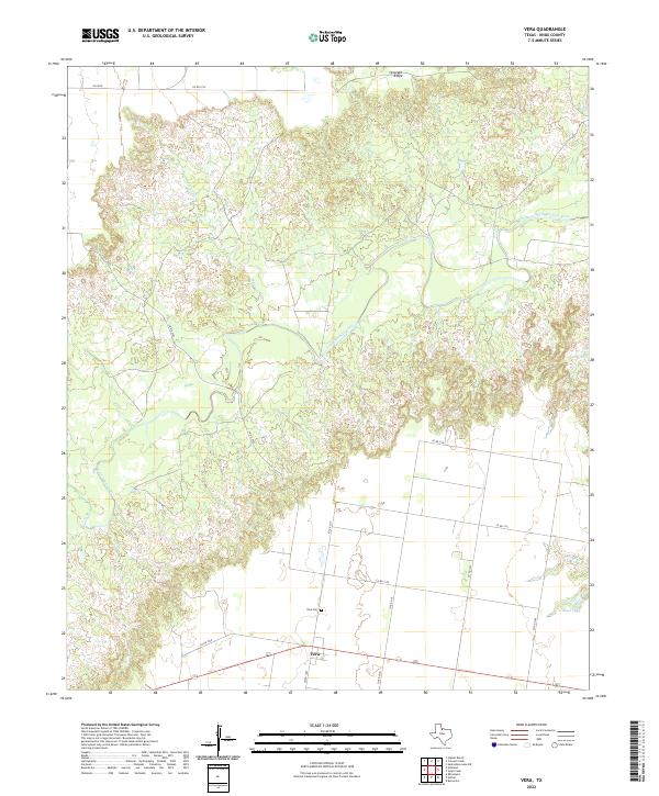
2022 Vera
Knox County, TX