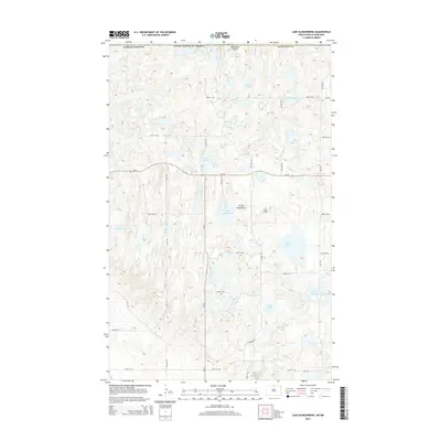
2014 Map of Lake Klingenberg
USGS Topo · Published 2014About this map
The Turtle Mountains dominate this landscape along the international border in Bottineau County. The terrain is defined by a dense concentration of glacial lakes and wetlands, including Lake Klingenberg, Lake Francis, and Duck Lake. This high-altitude plateau, rising above the surrounding plains, creates a unique hydrologic network where small waterways like Oak Cr and Stone Cr drain between the hills.
Find a feature on this map
39 named features on this map. Tap any name to fly to it.
Don’t see what you’re looking for? This feature index may not catch every label — zoom into the map to look around manually.
Map Details
Editions of this 2014 Lake Klingenberg Map
This is the sole edition of this map. No revisions or reprints were ever made.
Other maps of this area

1954 · Souris SE
USGS Topo · 1:24,000

1954 · Minot
USGS Topo · 1:250,000

1955 · Bottineau
USGS Topo · 1:24,000

1955 · Bottineau SE
USGS Topo · 1:24,000

1956 · Metigoshe Lake
USGS Topo · 1:24,000

1956 · Carbury
USGS Topo · 1:24,000

1956 · Lake McArthur
USGS Topo · 1:24,000

1958 · Minot
USGS Topo · 1:250,000

1980 · Bottineau
USGS Topo · 1:100,000
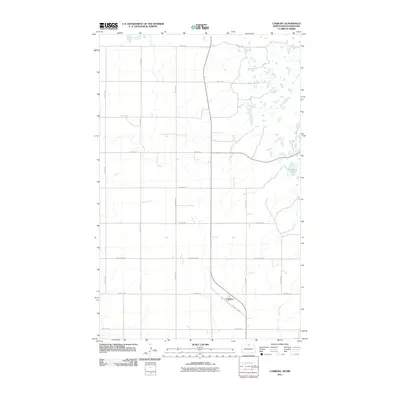
2011 · Carbury
USGS Topo · 1:24,000