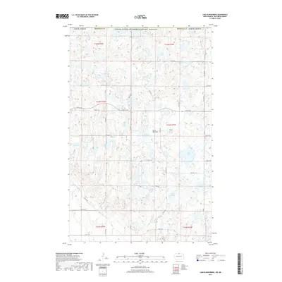
2017 Map of Lake Klingenberg
USGS Topo · Published 2017About this map
Turtle Mountains dominate this landscape along the international border between North Dakota and Canada, characterized by a dense concentration of small glacial lakes and wetlands. The upland terrain is punctuated by significant rises such as Boundary Butte near the northern map edge. Human activity in this rural portion of Bottineau County is represented by the Winter Park settlement and a grid of township roads including Town Line Rd and Svingen Rd. The area is a distinct hydrological environment where dozens of named bodies of water, such as Lake Klingenberg, Lake Coulthard, and Lake Taylor, are situated at varying elevations. Local history and genealogy interests are anchored by the Manger Cem, located east of Lake Klingenberg and north of Duck Lake.
Find a feature on this map
43 named features on this map. Tap any name to fly to it.
Don’t see what you’re looking for? This feature index may not catch every label — zoom into the map to look around manually.
Map Details
Editions of this 2017 Lake Klingenberg Map
This is the sole edition of this map. No revisions or reprints were ever made.
Other maps of this area

1954 · Souris SE
USGS Topo · 1:24,000

1954 · Minot
USGS Topo · 1:250,000

1955 · Bottineau
USGS Topo · 1:24,000

1955 · Bottineau SE
USGS Topo · 1:24,000

1956 · Metigoshe Lake
USGS Topo · 1:24,000

1956 · Carbury
USGS Topo · 1:24,000

1956 · Lake McArthur
USGS Topo · 1:24,000

1958 · Minot
USGS Topo · 1:250,000

1980 · Bottineau
USGS Topo · 1:100,000
2011 · Carbury
USGS Topo · 1:24,000